
What is recorded here
Faintly visible on Google Earth aerial imagery (21-7-2021) in level pasture: a circular area (max diam. c. 48m) defined by the intermittent cropmark of a wide (Wth. 4-5m) fosse.
See attached image: WI043-034----_01 Google Earth aerial imagery (21-7-2021).
Compiled by: Gearóid Conroy based on details provided by Jean-Charles Caillère.
Date of upload: 2 August 2023
A local fairy fort (ringfort/rath); wider significance not recorded.
The monument record does not grant public access. Check the route and ask the landowner before entering private land.
- What survives
- Recorded monument
Places near here
 Ch., Grave Yd.Church · 499 yd
 IndicatedEnclosure · 1012 yd
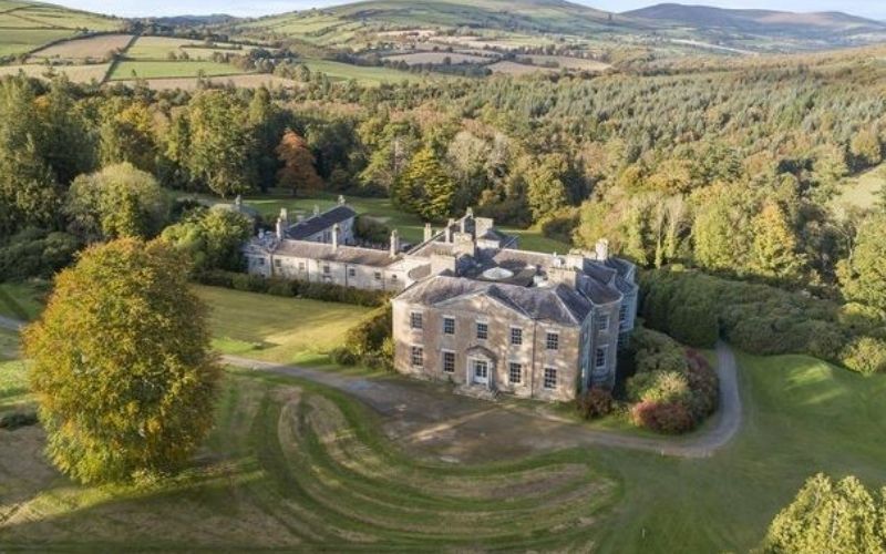 Enclosure in Coolafancy,raheenglassEnclosure · 1620 yd
 Cummer Valefarm house · 1.1 mi
 1798 MemorialMemorial · 1.6 mi
 Annagh HillMountain / peak · 2.2 mi
 Drimingall WoodForest · 2.5 mi
 (Site of) Raymond CastleCastle, unclassified · 2.6 mi
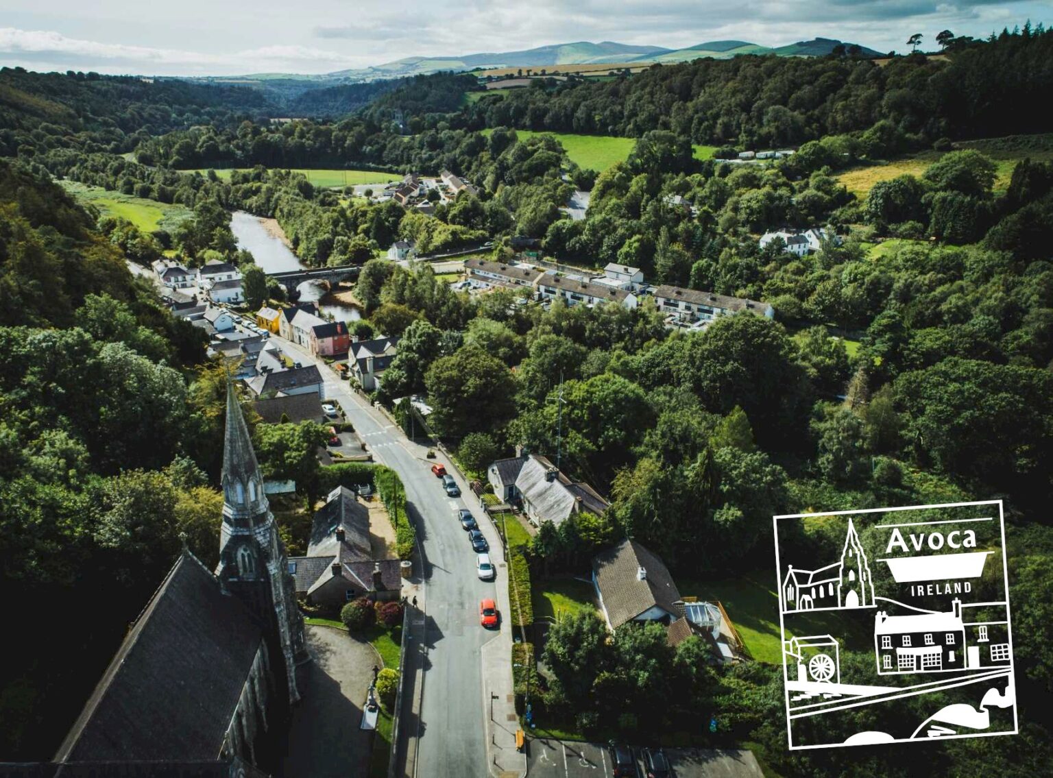 Killaveny WoodWood · 2.7 mi
 Ballythomas HillMountain / peak · 2.9 mi
 1798 Lacey Brothers MemorialMemorial · 4.3 mi
 CastleCastle, motte · 4.6 mi
Other information
Photo: Credit not shown in the picture search · Rights wording not checked; contact us if this picture should be removed