
What is recorded here
From the National Monuments Service (Archaeological Survey of Ireland) record TS059-026
Places near here
Photo credits
- Maker not stated on source page, commons.wikimedia.org
- National Inventory of Architectural Heritage
- Maker not stated on source page, www.dreamstime.com
- Maker not stated on source page, en.wikipedia.org
- Maker not stated on source page, uk.pinterest.com
- Mike Searle, Wikimedia Commons · CC BY-SA 2.0
- Jamie Carroll, Geograph · CC BY-SA 2.0
 CairnCairn, unclassified · 929 yd
Explorer Tom This cairn was nearly sold to a farmer as a replacement for a missing horse because nobody could tell the difference…
 Morpeth BridgeBridge · 1194 yd
Explorer Tom Morpeth Bridge in Attybrick would tell its younger self to stop getting demolished and just learn how to use girder…
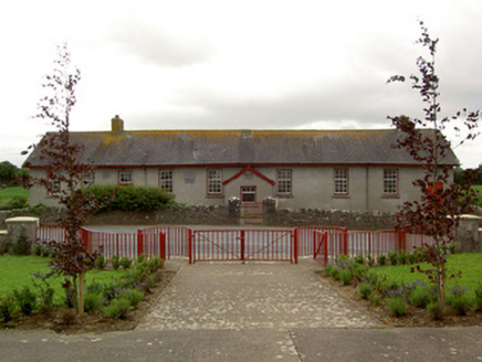 Curraghpoor SchoolSchool · 1387 yd
Explorer Tom Curraghpoor School in Gorteen is having a massive drama with the nearest tree, accusing it of stealing all its…
 Saint Bridget's Catholic ChurchChurch/chapel · 1.0 mi
Explorer Tom Saint Bridget's Catholic Church in Drishane is always the first one at the party, standing tall at the crossroads with…
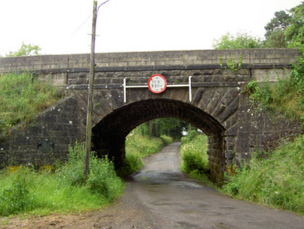 Ballyrobin BridgeBridge · 1.3 mi
Explorer Tom Ballyrobin Bridge in Ballyrobin is strutting about like a rock god after surviving the War of Independence with a few…
 Kilpatrick CemeteryGraveyard · 1.3 mi
Explorer Tom After a few pints, Kilpatrick Cemetery would confess that it actually prefers the company of foxes to people because…
 Kilpatrick Church (in Ruins)Graveyard · 1.3 mi
Explorer Tom Kilpatrick Church would be the person at a wedding who stands in the corner pretending to know everyone while actually…
 Fairy fort / earthen ringfort in CurraghpoorFairy fort / earthen ringfort · 1.8 mi
Explorer Tom Fairy fort / earthen ringfort in Curraghpoor is hiding a treasure that is definitely just a rusty biscuit tin from…
 Enclosure in Pallas (donohill Par.)Enclosure · 1.9 mi
Explorer Tom Enclosure in Pallas has a curse that only affects people who don’t wave when they pass by, sitting on the upper edge of…
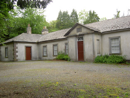 Dundrum CourthouseSchool · 2.0 mi
Explorer Tom Dundrum Courthouse is actually a school now, which means it’s had to grow up and learn some manners after its time as a…
 Grantstown CastleCastle · 2.4 mi
Explorer Tom Grantstown Castle in Tipperary is still bragging about surviving that one massive storm from back in the day, though it…
 Grantstown Castle (in ruins)Castle, tower house · 2.4 mi
Explorer Tom Grantstown Castle has a family tree that is mostly made up of ghosts and rumors. It used to have a quarry nearby that…
More archaeology and monuments in County Tipperary · All of County Tipperary

What do you know about this place?Tap to add a comment or ask a question