What is recorded here
Situated on a slight rise, in gently undulating pasture. Ringfort (WM025-136----) lies c. 65m to SE. A circular earthwork outlined by a scarp with a long L-shaped ruin in the interior , annotated 'fort' on the 1837 OS Fair Plan map. Monument described in 1971 as an earthwork known locally as the ‘little fort’ which is located in the W corner of the field which contains ringfort (WM025-136----). According to local information this monument was levelled a number of years ago. The land has been drained recently and many small stones are scattered across the site.
Compiled by Alison McQueen, Vera Rahilly and Caimin O’Brien.
Date of upload: 24 September 2019
The monument record does not grant public access. Check the route and ask the landowner before entering private land.
- What survives
- Recorded monument
Places near here
 Man-made underground passage in Adamstown (moycashel By.)Man-made underground passage · 502 yd
 Kilbride ChurchChurch · 543 yd
 Ecclesiastical enclosure in Adamstown (moycashel By.)Ecclesiastical enclosure · 559 yd
 Adamstown Castle (in Ruins)Castle, tower house · 608 yd
 Rathdrishoge CastleCastle, unclassified · 903 yd
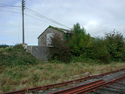 Castletown Railway Stationstore/warehouse · 1055 yd
 Hill of UisneachMountain / peak · 3.4 mi
 European ashEuropean ash · 3.9 mi
 Sam's ParkForest · 3.9 mi
 St. Columba's WellSpring · 8.8 mi
 Moate HillMountain / peak · 9.8 mi
 Charles BianconiMemorial · 9.8 mi