What is recorded here
Enclosure in Commons (louth Par.) is a D-shaped ring in County Louth, no more than 26 metres wide, marked by a low bank of stone and earth. People nearby called it a fort, though it may have served as a boundary, a shrine, a seasonal camp or a child’s climbing game. Its shallow shape still suggests something deliberate: a place set apart, remembered, and never fully explained.
The following description is derived from both the published 'Archaeological Inventory of County Louth' (Dublin: Stationery Office, 1986) and the 'Archaeological Survey of County Louth' (Dublin: Stationery Office, 1991). In certain instances the entries have been revised and updated in the light of recent research.
Date of upload/revision: 17 July 2007
D-shaped enclosure (max. dims. 26m E-W, 19m N-S) bounded by low stone and earthen bank. Locally known as 'fort'. (OS Memoranda 6381 A, B)
The monument record does not grant public access. Check the route and ask the landowner before entering private land.
- What survives
- Recorded monument
Places near here
 Hut site in Commons (carlingford Par.)Hut site · 133 yd
 Carlingford - Loop 1A- Commons LoopWalking route · 523 yd
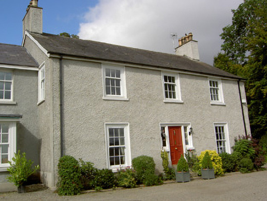 The Manserectory/glebe/vicarage/curate's house · 791 yd
 BarnavaveMountain / peak · 841 yd
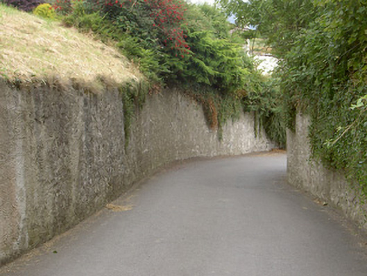 gates/railings/wallsgates/railings/walls · 880 yd
 Carlingford Heritage CentreVisitor information · 1028 yd
 Graveyard in Liberties OF CarlingfordGraveyard · 1046 yd
 IndicatedFairy fort / earthen ringfort · 1056 yd
 Town GateHeritage attraction · 1074 yd
 CastleCastle, tower house · 1110 yd
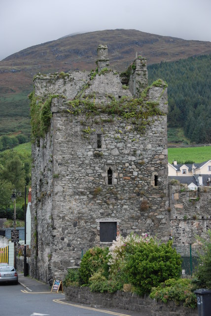 Taaffe's CastleCastle · 1114 yd
 Carlingford Ogham StoneMemorial · 1124 yd