What is recorded here
In pasture, on a gentle N-facing slope. Slight visible surface trace of oval depression (dims. 32m N-S; 40m E-W) defined by levelled bank (Wth 12m; int. H 0.6m; ext. H 0.2m) and shallow fosse (Wth 6.5m at N; Wth 8m at S) which is truncated by field fence (long-axis N-S) at W. Field fences respect monument to N and E. Possible disturbance at E and W. Enclosure (TS070-064----) located 240m to S.
Compiled by: Jean Farrelly
Date of upload: 26 August 2011
The monument record does not grant public access. Check the route and ask the landowner before entering private land.
- What survives
- Recorded monument
Places near here
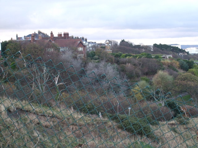 former site of a Ring FortArchaeological place · 262 yd
 Barrettstown CastleCastle · 1157 yd
 Settlement desertedSettlement deserted, medieval · 1208 yd
 Rathdrum Castle (in ruins)Castle, tower house · 1296 yd
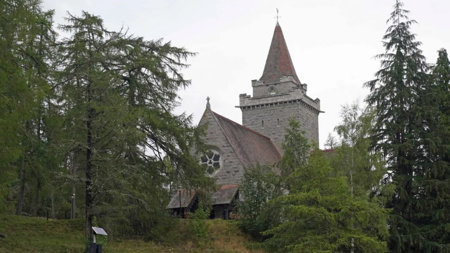 Redcity Church (in ruins)Church · 1445 yd
 IndicatedRoad, road/trackway · 1.2 mi
 European YewEuropean Yew · 1.7 mi
 East GateMemorial · 1.9 mi
 Pedunculate OakPedunculate Oak · 2.0 mi
 Kilknockan HillMountain / peak · 2.7 mi
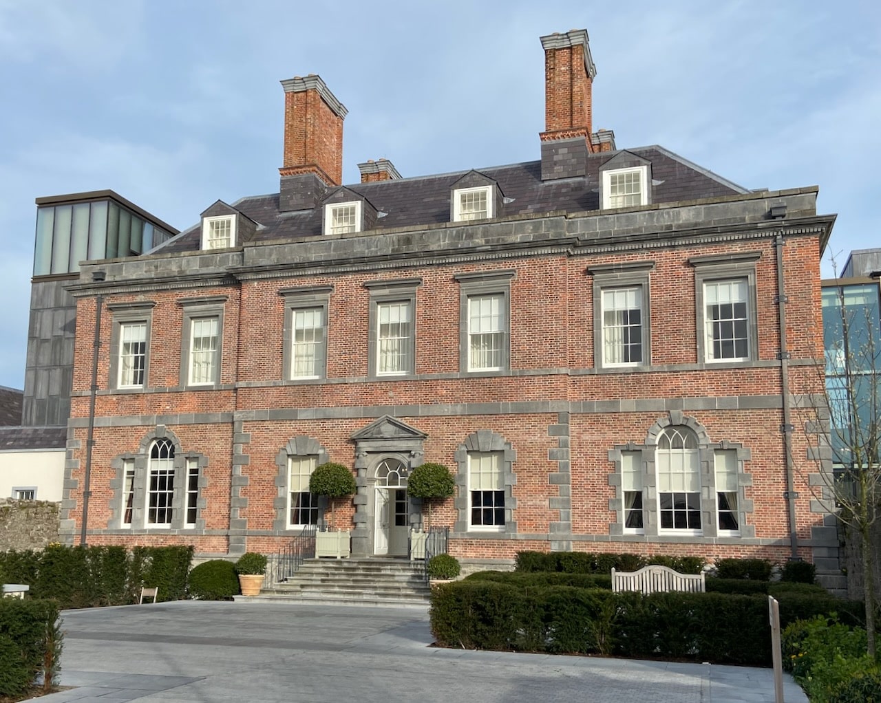 Enclosure in RedcityEnclosure · 1586 yd
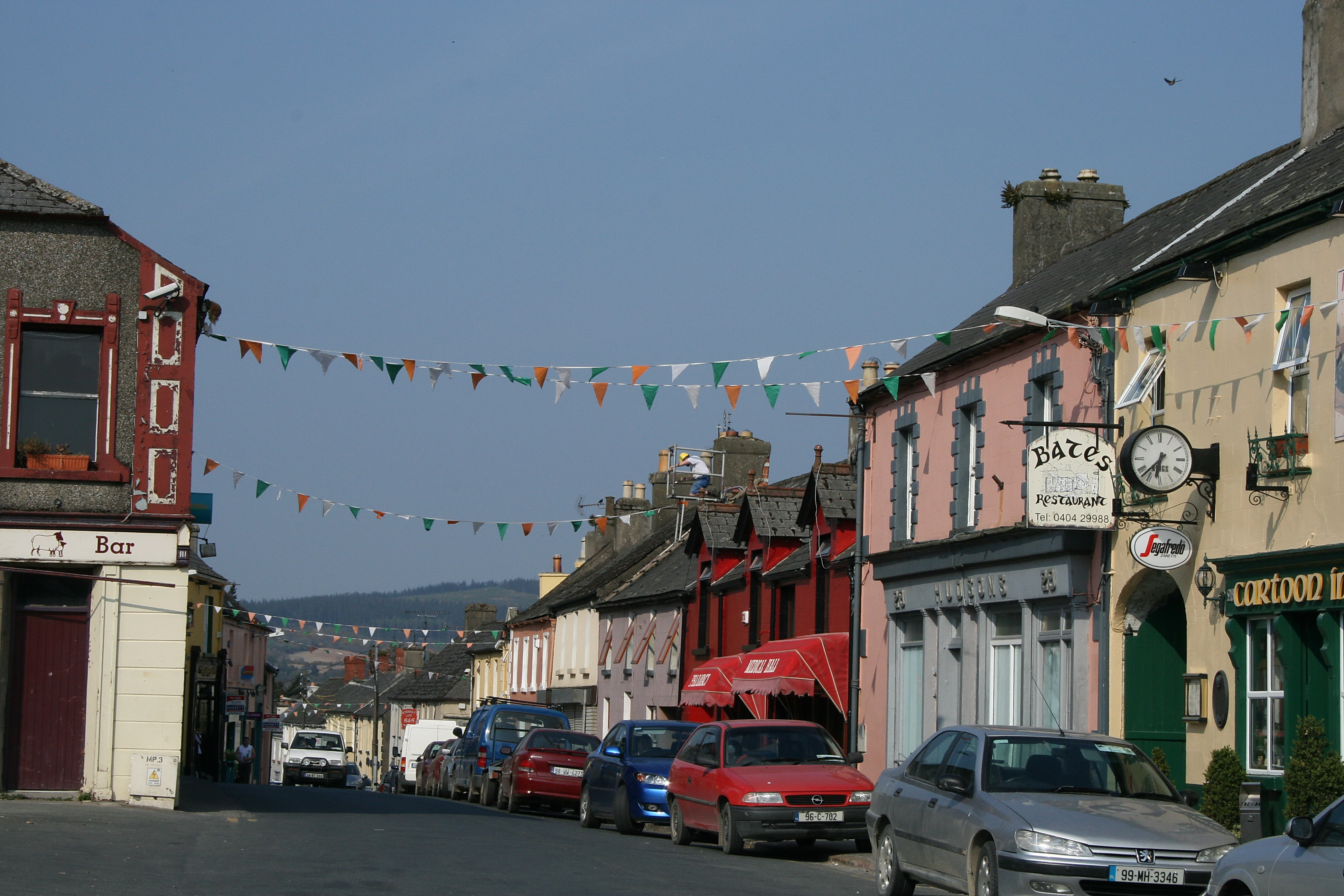 (Site of) TemplemurryChurch · 1613 yd