What is recorded here
In generally level pasture overlooking ravine to NW. No visible surface trace. Quarried sub-circular depression (dims. c. 26m N-S; c. 24m E-W). According to local information, area deeply quarried for gravel decades ago and subsequently in-filled for safety. The monument had been levelled by 1982 (Cahill). Enclosure (TS070-038----) located 280m to W.
Compiled by: Jean Farrelly
Date of upload: 26 August 2011
The monument record does not grant public access. Check the route and ask the landowner before entering private land.
- What survives
- Recorded monument
Places near here
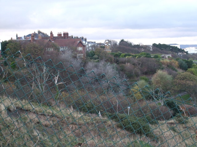 former site of a Ring FortArchaeological place · 706 yd
 Settlement desertedSettlement deserted, medieval · 1080 yd
 Barrettstown CastleCastle · 1098 yd
 Rathdrum Castle (in ruins)Castle, tower house · 1631 yd
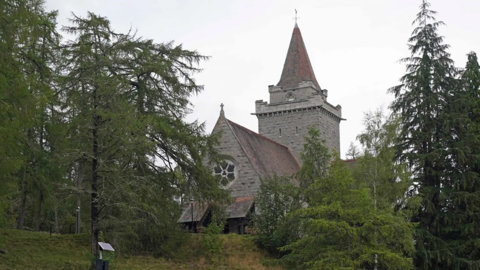 Redcity Church (in ruins)Church · 1733 yd
 IndicatedRoad, road/trackway · 1755 yd
 European YewEuropean Yew · 2.0 mi
 East GateMemorial · 2.1 mi
 Pedunculate OakPedunculate Oak · 2.3 mi
 Kilknockan HillMountain / peak · 2.8 mi
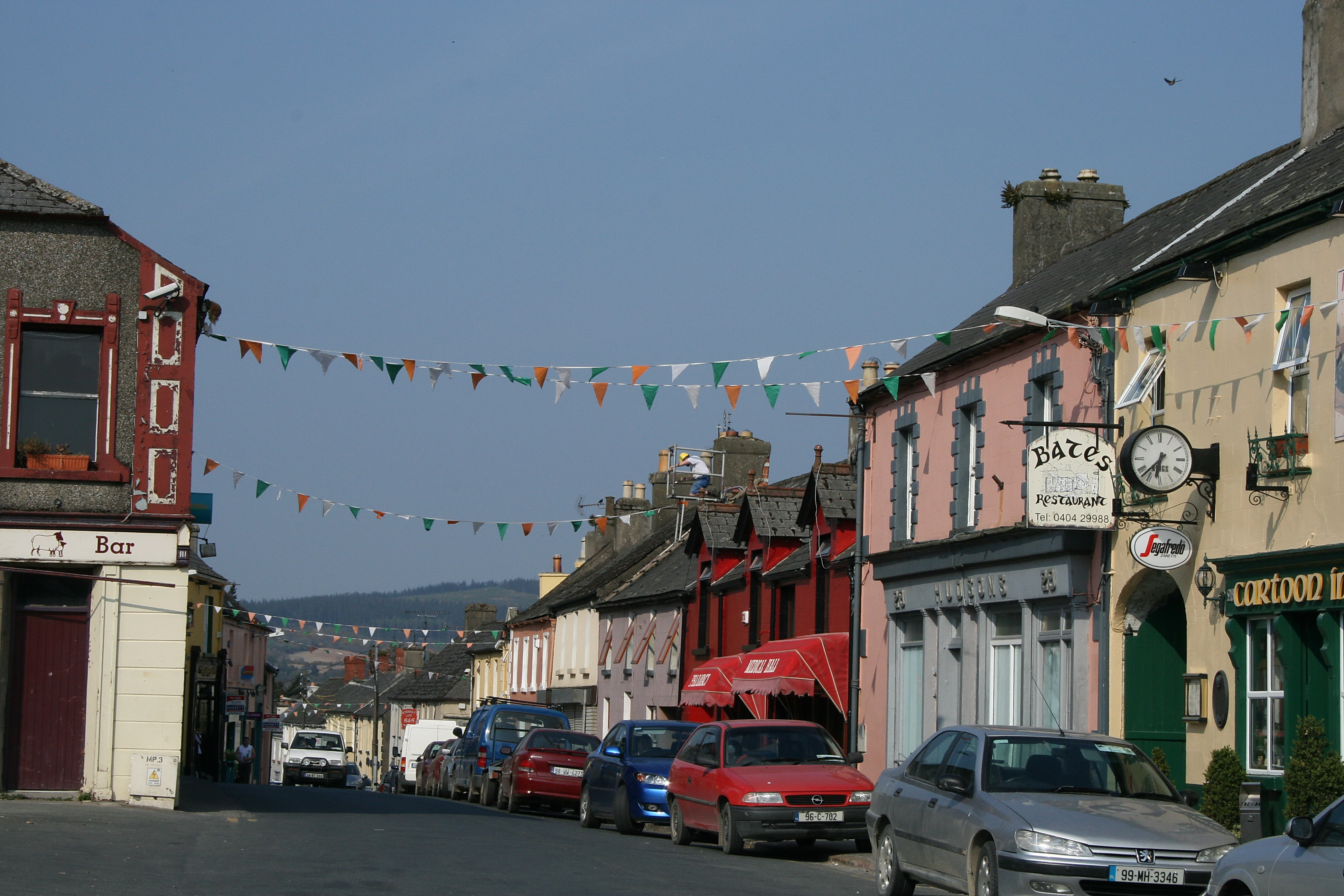 (Site of) TemplemurryChurch · 1.1 mi
 Enclosure in RedcityEnclosure · 1.2 mi