What is recorded here
Situated on the shoulder of a high ridge, in pasture, with good views to W and N. Not depicted on the 1837 ed. OS 6-inch map or the revised 1913 ed. OS 25-inch map. Monument described in 1983 as no surface remains visible of enclosure which was identified as a cropmark based on aerial photographic evidence.
Compiled by Alison McQueen, Vera Rahilly and Caimin O’Brien.
Date of upload: 28 August 2019
The monument record does not grant public access. Check the route and ask the landowner before entering private land.
- What survives
- Recorded monument
Places near here
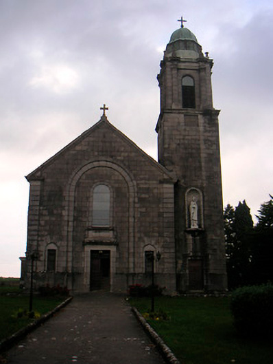 Saint Brigid's Catholic Churchchurch/chapel · 279 yd
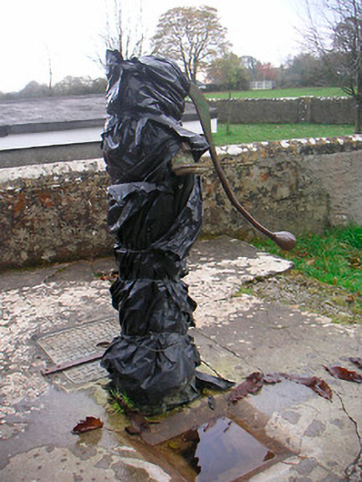 water pumpwater pump · 296 yd
 Killeenbrack CastleCastle · 688 yd
 Sam's ParkForest · 960 yd
 CastleCastle, unclassified · 1062 yd
 IndicatedField system · 1090 yd
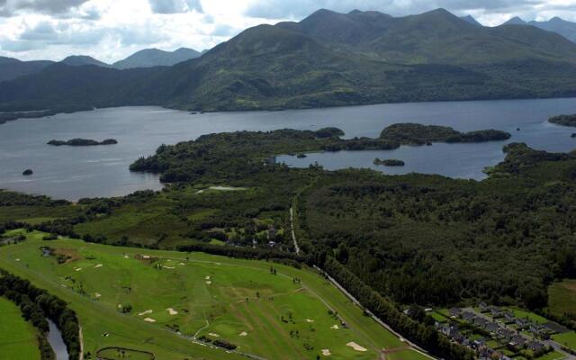 OutlinedFairy fort / earthen ringfort · 1125 yd
 European ashEuropean ash · 1.5 mi
 Hill of UisneachMountain / peak · 2.2 mi
 KnockastiaMountain / peak · 2.2 mi
 Craft WorkshopHeritage attraction · 7.9 mi
 Guest ServicesVisitor information · 7.9 mi