
What is recorded here
From the National Monuments Service (Archaeological Survey of Ireland) record GA032-017
Places near here
Photo credits
- National Inventory of Architectural Heritage
- Maker not stated on source page, commons.wikimedia.org
- Maker not stated on source page, www.ancient-origins.net
- Maker not stated on source page, www.visitgalway.ie
- Maker not stated on source page, en.wikipedia.org
- Maker not stated on source page, au.pinterest.com
- Maker not stated on source page, www.galwaydaily.com
- Kmcnamee, Wikimedia Commons · CC BY-SA 4.0
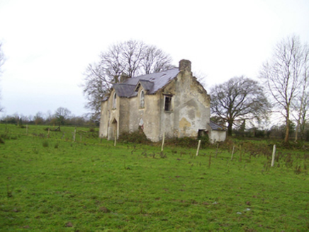 Saint Brendan's HouseHouse · 894 yd
Explorer Tom Saint Brendan's House in Cregganagrogy pretends to be a Gothic dreamer, even though it’s barely holding it together. It…
 Fairy fort / earthen ringfort in LissavruggyFairy fort / earthen ringfort · 1663 yd
Explorer Tom Fairy fort / earthen ringfort in Lissavruggy is sitting in low-lying grassland with a pond on top of its wall, which is…
 Graveyard in Kilmore (killian By.)Graveyard · 1.5 mi
Explorer Tom Graveyard in Kilmore would post about finding an adult skeleton while burying a child, but it keeps changing its mind…
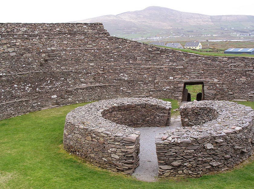 Fairy fort / ringfort in LiscuillFairy fort / ringfort · 1.9 mi
Explorer Tom Fairy fort / ringfort in Liscuill is well-preserved but has numerous modern breaches, like it's been through some messy…
 Site of Ballygar CastleCastle, unclassified · 2.0 mi
Explorer Tom Site of Ballygar Castle is just a faint rise in the ground, so you’ll need to squint really hard or bring a magnifying…
 Bullaun stone in Monasternalea or AbbeygreyBullaun stone · 2.1 mi
Explorer Tom Bullaun stone in Monasternalea Or Abbeygrey is sitting there looking like it's waiting for a refund on its penance.…
 Abbey Grey FortArchaeological place · 2.1 mi
Explorer Tom Abbey Grey Fort in County Galway is probably being mocked by the seagulls who land on it every morning to complain…
 St. Patricks Catholic ChurchChurch · 2.6 mi
Explorer Tom St. Patricks Catholic Church in Newgrove would post a picture of its own ruins with the caption 'living my best life'.…
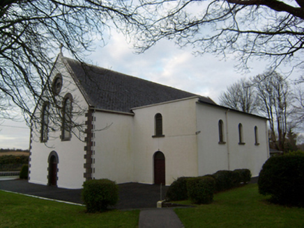 Saint Patrick's Catholic ChurchChurch/chapel · 2.6 mi
Explorer Tom Saint Patrick's Catholic Church has a secret side chapel that used to store grain instead of prayers. The local sheep…
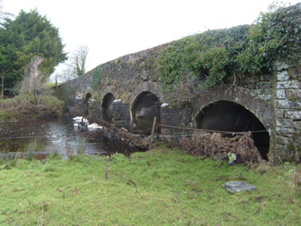 New BridgeBridge · 2.6 mi
Explorer Tom New Bridge in Newbridge is a stone bridge that carries the N63 across the River Shiven without breaking a sweat or…
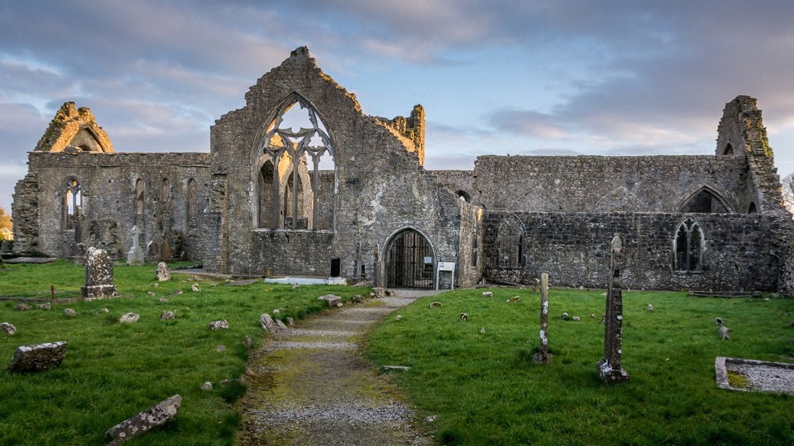 Graveyard in KillosolanGraveyard · 5.3 mi
Explorer Tom Graveyard in Killosolan used to be ruled by a goat that ate all the signs so nobody could find it properly. Now it’s…
 Mountbellew - Moylough GAA pitchGAA ground · 6.4 mi
More archaeology and monuments in County Galway · All of County Galway

What do you know about this place?Tap to add a comment or ask a question