
What is recorded here
In semi-karst rough pastureland within an extensive field system (CL017-180----). An enclosure is hachured on the 1842 ed. of the OS 6-inch map just E of a trig station. A subrectangular enclosure (c. 15m N-S; c. 11m E-W) defined by a wall is at this location.
Compiled by: Mary Tunney and Conn Herriott
Date of upload: 27 June 2023
The monument record does not grant public access. Check the route and ask the landowner before entering private land.
- What survives
- Recorded monument
Places near here
 IndicatedEnclosure · 653 yd
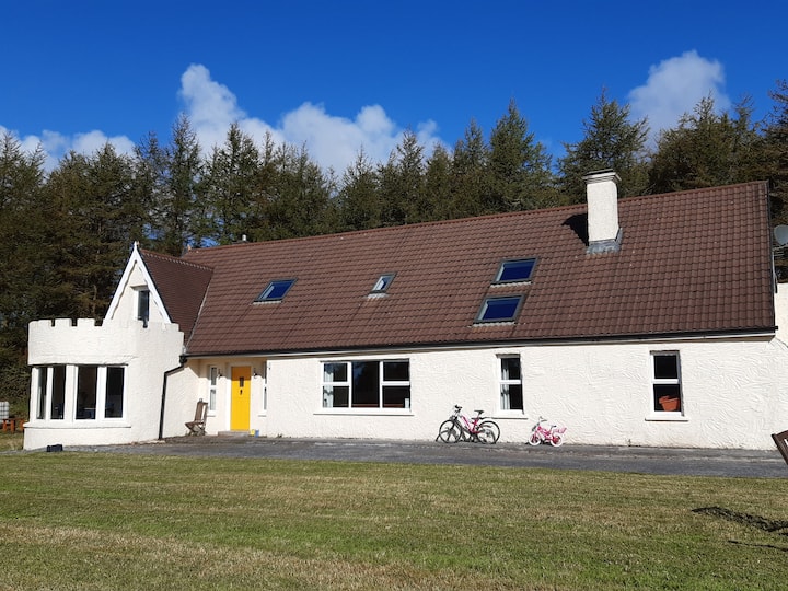 Enclosure in Clooncoose, TeeskaghEnclosure · 871 yd
 Templeline (in ruins)Church · 1.4 mi
 Burren National ParkVisitor information · 1.6 mi
 Farbrega RockNamed rock · 1.9 mi
 Saint Joseph's Catholic Churchchurch/chapel · 1.9 mi
 Castle in ruinsCastle, tower house · 2.0 mi
 Castle (in ruins)Castle, tower house · 2.0 mi
 Father Ted's HouseHeritage attraction · 2.0 mi
 Fergus River CaveCave · 2.3 mi
 Inchiquin IslandIslet · 3.2 mi
 Rock IslandIsland · 3.2 mi
Other information
Photo: Credit not shown in the picture search · Rights wording not checked; contact us if this picture should be removed