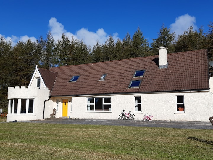
What is recorded here
On top of a low E-W ridge in an area with some exposed karst. A large subcircular enclosure (diam. c. 88m) defined by a stone wall E-SW visible on OSi MapGenie orthophotography (2013-2018). A later wall on the townland boundary between Clooncoose and Teeskagh overlies the perimeter from SW through N to E. This is also the barony boundary between Burren and Inchiquin. An internal wall curves from the NW perimeter int towards the centre and another wall abuts the exterior at SE.
Compiled by: Mary Tunney
Date of upload: 17 November 2025
The monument record does not grant public access. Check the route and ask the landowner before entering private land.
- What survives
- Recorded monument
Places near here
 Mass-rock in ClooncooseMass-rock · 761 yd
 Enclosure in ClooncooseEnclosure · 871 yd
 Burren National ParkVisitor information · 1.4 mi
 Templeline (in ruins)Church · 1.5 mi
 Correen R.C. Chapel (in ruins)Church · 1.5 mi
 Castle in ruinsCastle, tower house · 1.6 mi
 Father Ted's HouseHeritage attraction · 1.6 mi
 Castle (in ruins)Castle, unclassified · 1.9 mi
 Farbrega RockNamed rock · 1.9 mi
 Fergus River CaveCave · 2.7 mi
 Inchiquin IslandIslet · 3.6 mi
 Rock IslandIsland · 3.7 mi
Other information
Photo: Credit not shown in the picture search · Rights wording not checked; contact us if this picture should be removed