What is recorded here
In pasture, on a broad terrace, bordered by a steeply rising slope on the E side and by a fall of ground to W. The enclosure is sited on a low rise close to the W edge of the terrace, overlooking a flat expanse of damp ground. This enclosure is not indicated on the OS 6-inch maps. It has been partly levelled and the remains are very low profile at ground level. It is evident as a roughly circular area (26.5m E−W; c. 26m N−S) defined on the S half by a low scarp (H 0.3m at E, 0.6m at S), which retains a slight internal lip in parts, with a broader rise (Wth 3.5; int. H 0.45m) at W. The outline of the N arc is barely discernible. The interior is level, and does not appear significantly raised above exterior ground level. A post and wire fence extends across the centre of the enclosure on an E−W axis. A field boundary abuts the enclosure at N and a low undulation, possibly the remnants of a field boundary, extends to E from the SW edge of the enclosure. Attached images:
MA100-164----_01.JPG Viewed from N
MA100-164----_02.JPG Viewed from E
Compiled by: Jane O’Shaughnessy
Date of upload: 19 March 20
In pasture, on a broad terrace, bordered by a steeply rising slope on the E side and by a fall of ground to W. The enclosure is sited on a low rise close to the W edge of the terrace, overlooking a flat expanse of damp ground. This enclosure is not indicated on the OS 6-inch maps. It has been partly levelled and the remains are very low profile at ground level. It is evident as a roughly circular area (26.5m E−W;…
From the National Monuments Service (Archaeological Survey of Ireland) record MA100-164
The monument record does not grant public access. Check the route and ask the landowner before entering private land.
- What survives
- Recorded monument
Places near here
 Clogher HouseWalled garden · 852 yd
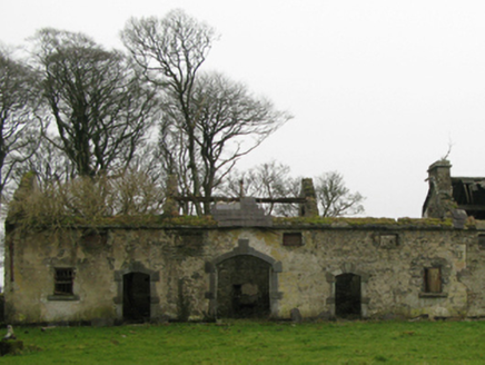 Clogher HouseFarmyard complex · 886 ydEnclosure in Rusheen or ThomastownEnclosure · 888 ydCerberus, from Thomastown HouseMemorial · 990 yd
 Castleburke in ruinsCastle, tower house · 1.5 mi
_-_geograph.org.uk_-_4072916.jpg/250px-Castles_of_Connacht,_Doonamona,_Mayo_(1)_-_geograph.org.uk_-_4072916.jpg "Photo: Mike Searle, Wikimedia Commons · CC BY-SA 2.0") Doonamona CastleCastle · 2.0 mi
Doonamona CastleCastle · 2.0 mi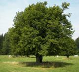 European hornbeam2.0 mi
 Ballintubber AbbeyHeritage attraction · 2.2 mi
 Moore Hall Forest TrailWalking route · 2.4 mi
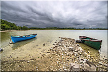 Moore Hall ForestForest · 2.6 mi
 French Hill MonumentMemorial · 4.7 mi
 Round Tower5.6 mi
Pictures: National Inventory of Architectural Heritage; Gleneary, Wikimedia Commons · CC BY-SA 4.0; Mike Searle, Wikimedia Commons · CC BY-SA 2.0; Willow, Wikimedia Commons · CC BY 2.5; Oliver Dixon, Geograph · CC BY-SA 2.0; Mike Searle, Geograph · CC BY-SA 2.0; Oldnuff, Wikimedia Commons · CC BY-SA 4.0; JohnArmagh, Wikimedia Commons · CC BY-SA 3.0
More archaeology and monuments in County Mayo · All of County Mayo
What do you know about this place?