
What is recorded here
Depicted on the 1913 edition of the OS 6-inch map as a small, oval or subrectangular enclosure. However on the 1837 edition it is not differentiated from the remainder of a large tree plantation within which it is situated.This may be a later feature constructed after the plantation was removed. There are no remains visible at ground level.
Compiled by: Mark Keegan
Date of upload: 19 January 2011
A local fairy fort (ringfort/rath); wider significance not recorded.
The monument record does not grant public access. Check the route and ask the landowner before entering private land.
- What survives
- Recorded monument
Places near here
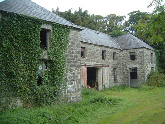 Fortlandfarmyard complex · 347 yd
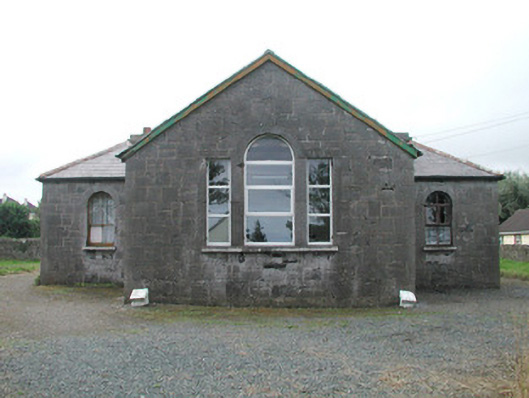 Easky Courthousecourt house · 386 yd
 Cross in CurraghnagapCross · 588 yd
 Field boundary in BunownaField boundary · 613 yd
 Wild Atlantic Way: Easky PierVisitor information · 1081 yd
 Bawn in CastletownBawn · 1104 yd
 Roslee CastleCastle, tower house · 1143 yd
 Jim Smith MemorialMemorial · 1377 yd
 Bunowna PointHeadland · 1416 yd
 Cooanmore PointHeadland · 1.1 mi
 Wild Atlantic Way: Inishcrone PierVisitor information · 7.2 mi
 Grave of the Black PigArchaeological place · 7.9 mi
Other information
Photo: Credit not shown in the picture search · Rights wording not checked; contact us if this picture should be removed