
What is recorded here
On a very gentle S-facing pasture slope. Visible on a 1968 aerial photograph (CUCAP AVR 14) as a circular area (est. diam c. 100m) defined by a hedged townland boundary NNW-N-NNE, and elsewhere by low earthworks. While the townland boundary survives, a modern house has been built on the NE sector and elsewhere a low (H 0.2-0.4m) intermittent scarp defines the limits along the S.
Compiled by: Gearóid Conroy
Date of upload: 10 June 2011
The monument record does not grant public access. Check the route and ask the landowner before entering private land.
- What survives
- Recorded monument
Places near here
 IndicatedFairy fort / earthen ringfort · 1535 yd
 Baarheen ChurchChurch · 1.1 mi
 Mass was there in Penal TimesMemorial · 1.2 mi
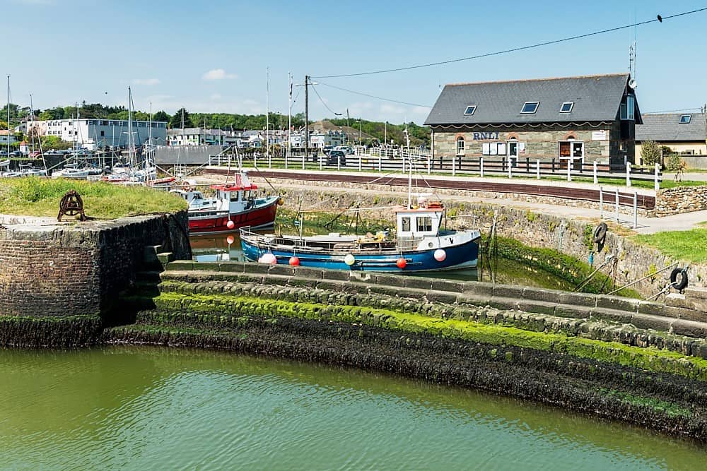 Enclosure in Courtown LittleEnclosure · 1.3 mi
 Church Ladys ChapelChurch · 1.4 mi
 Cocked Hat WoodWood · 2.1 mi
 Maguire's WoodWood · 2.2 mi
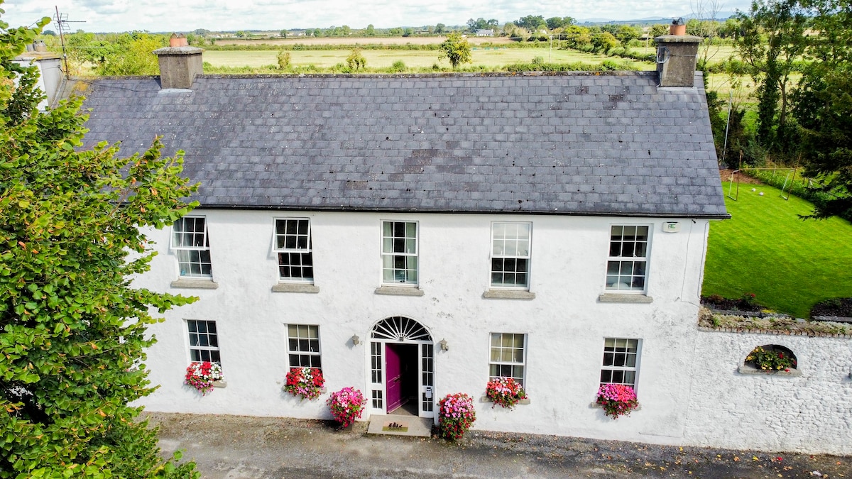 Bawn in PitchfordstownBawn · 2.4 mi
 CastleCastle, unclassified · 2.5 mi
 Maynooth University South CampusHeritage attraction · 2.9 mi
 Oscoil Na hÉirean Má NuadMemorial · 3.0 mi
 National Science MuseumMuseum · 3.0 mi
Other information
Photo: Credit not shown in the picture search · Rights wording not checked; contact us if this picture should be removed