
What is recorded here
Towards the E end of a graveyard (KD010-012002-). According to the OSL (Herity 2002, 25), 'Scarsely the vestiges of the old Church (were) observable …'. The area is totally overgrown but a shallow rectangular depression (dims. L 15m E-W; Wth 5m; D 1.2m) may mark the site of the church. In 1998, five trenches were archaeologically excavated (Licence no. 98E0559) to test an area in advance of a proposed development near the church and graveyard. A small pit-like feature cut into the natural subsoil was exposed c. 20m SW of the graveyard. The peat-like fill produced medieval pottery and animal bones. The pottery dates to the 13th-15th centuries and suggests activity in the area at that time, although its nature and extent are not known and there were no other finds in the remainder of the area tested. (www.excavations.ie)
Compiled by: Gearóid Conroy
Date of upload: 10 June 2011
The monument record does not grant public access. Check the route and ask the landowner before entering private land.
- What survives
- Recorded monument
Places near here
 Church Ladys ChapelChurch · 823 yd
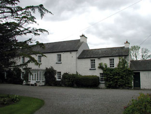 Baltracey Househouse · 1163 yd
 EnclosureEnclosure, large enclosure · 1605 yd
 Enclosure in Clonfert SouthEnclosure · 1.1 mi
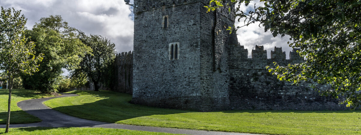 CastleCastle, Anglo-Norman masonry castle · 1.4 mi
 Cocked Hat WoodWood · 1.7 mi
 Maguire's WoodWood · 1.8 mi
 Mass was there in Penal TimesMemorial · 2.3 mi
 Andrew FayMemorial · 3.0 mi
 Maynooth University South CampusHeritage attraction · 3.2 mi
 National Science MuseumMuseum · 3.3 mi
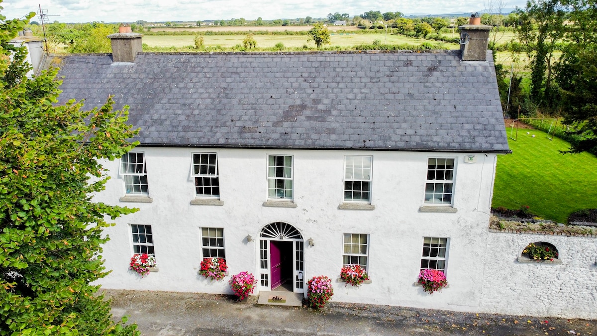 Bawn in PitchfordstownBawn · 3.5 mi
Other information
Photo: Credit not shown in the picture search · Rights wording not checked; contact us if this picture should be removed