What is recorded here
Situated on a break in a S-facing slope in pastureland. An irregular-shaped enclosure (diam. 36m N-S; 35.5m E-W), poorly preserved and defined by a low bank (Wth 2.9m; int. H 0.35m; ext. H 0.36m), badly damaged by cattle along the E side and reduced to a scarp at S with a shallow, poorly defined external fosse (Wth 3.1m; ext. H 0.41). The N, W and S sides of the enclosure are straight, however, the shape is somewhat different from that depicted on the 1st ed. OS 6-inch map.
The above description is derived from 'The Archaeological Inventory of County Tipperary. Vol. 1 - North Tipperary' compiled by Jean Farrelly and Caimin O'Brien (Dublin: Stationery Office, 2002). In certain instances the entries have been revised and updated in the light of recent research.
Date of upload/revision: 22 September 2008
The monument record does not grant public access. Check the route and ask the landowner before entering private land.
- What survives
- Recorded monument
Places near here
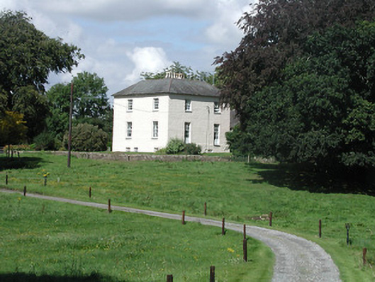 Riverglebe Houserectory/glebe/vicarage/curate's house · 1010 yd
 ToomyvaraSettlement deserted, medieval · 1473 yd
 Font in Bunacum,castlequarter (aghameadle Par.)Font · 1564 yd
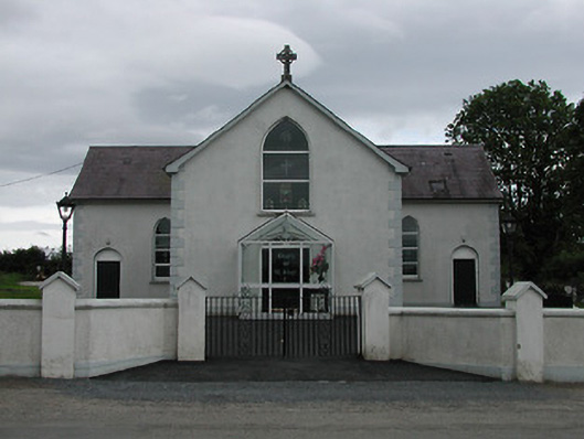 Saint Joseph's Catholic Churchchurch/chapel · 1637 yd
 Knockane CastleCastle · 1.5 mi
 Blean CastleCastle · 2.0 mi
 Kyleroe WoodWood · 2.0 mi
 Interragh HillMountain / peak · 2.3 mi
 Knockacraheen HillMountain / peak · 3.3 mi
 Killavalla WoodForest · 3.7 mi
 James Devaney MemorialMemorial · 4.7 mi
 Thomas MacDonagh Heritage CentreMuseum · 6.6 mi