What is recorded here
Situated in gently undulating, relatively flat terrain with occasional low ridges and hillocks. A fortified house and bawn (TN023-030001), a church (TN023-030002) and rectangular enclosure (TN023-030003) are visible to the NW. Not indicated on either the 1st (1840) or the 1904 ed. OS 6-inch map but appears as a circular enclosure on an aerial photograph taken in 1973 (GSIAP, S 84/3). According to the landowner the site consisted of a circular bank with no scrub or trees on it. It was levelled some years ago. Not visible at ground level.
The above description is derived from 'The Archaeological Inventory of County Tipperary. Vol. 1 - North Tipperary' compiled by Jean Farrelly and Caimin O'Brien (Dublin: Stationery Office, 2002). In certain instances the entries have been revised and updated in the light of recent research.
Date of upload/revision: 22 September 2008
The monument record does not grant public access. Check the route and ask the landowner before entering private land.
- What survives
- Recorded monument
Places near here
 Castle (in ruins)House, fortified house · 201 yd
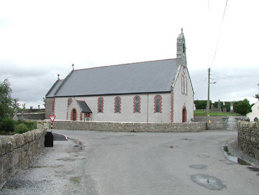 Saint Brigid's Catholic Churchchurch/chapel · 441 yd
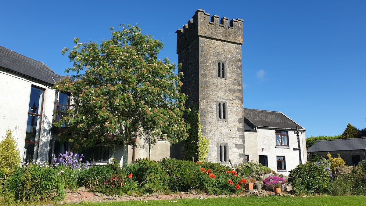 Enclosure in ClonakennyEnclosure · 450 yd
 EnclosureEnclosure, large enclosure · 1.0 mi
 Fortescuecottage ornee · 1.5 mi
 Longford WoodForest · 1.5 mi
 OutlinedCastle, Anglo-Norman masonry castle · 2.2 mi
 College HillMountain / peak · 3.0 mi
 Black HillMountain / peak · 3.7 mi
 Carricknasrock WoodWood · 4.2 mi
 Thomas MacDonagh Heritage CentreMuseum · 10 mi
 MacDonagh HouseMemorial · 10 mi