What is recorded here
On crest of low, flat-topped ridge in undulating pastureland. Enclosure (diam. 36m NE-SW) has been ploughed out but is still visible. A field boundary running NW-SE, which formed the W side of the monument, has been removed, as has the field boundary forming the NW side of the site. The SE quadrant is defined by a gently sloping bank (Wth 4.9m crest; 8m base; int. H 0.22m; ext. H 0.6m) which rises slightly above the interior. The NE edge is defined by hedgerow.
Compiled by: Jean Farrelly
Date of upload: 07 January 2014
This remains an important historical record, but the official description says the monument is no longer visible or has been destroyed. The monument record does not grant public access. Check the route and ask the landowner before entering private land.
- What survives
- No visible remains or recorded as destroyed
Places near here
 Bawn in CloheenafishogeBawn · 493 yd
 Knockane Castle ruinsCastle · 661 yd
 Enclosure in Parkaderreen (shanrahan Par.)Enclosure · 1447 yd
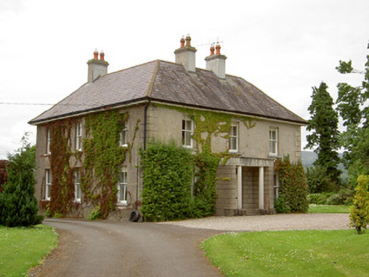 Kilcoran Househouse · 1606 yd
 Enclosure in KilroeEnclosure · 1.3 mi
 Catholic Church of Our Lady and Saint Kieranchurch/chapel · 1.4 mi
 Rehill WoodForest · 1.7 mi
 Boulakennedy WoodForest · 2.0 mi
 SlieveanardMountain / peak · 3.8 mi
 LaghtshanaquillaMountain / peak · 4.1 mi
 Mitchelstown CaveCave · 4.2 mi
 Cahir CastleHeritage attraction · 4.9 mi