What is recorded here
A circular enclosure (diam. c. 30m) defined by a fosse which is visible as a cropmark on satellite imagery (2021 Maxar Technologies, viewed May 2021), identified and reported by Jean-Charles Caillère. Another enclosure (TS060-150----) is located c. 360m to the E.
See attached photograph:
TS060-149----_01 Satellite image (2021 Maxar Technologies, viewed May 2021)
Compiled by: Jean Farrelly
Date of upload: 2 June 2021
The monument record does not grant public access. Check the route and ask the landowner before entering private land.
- What survives
- Recorded monument
Places near here
 Enclosure in Cloghleigh (relickmurray & Athassel Par.)Enclosure · 1111 yd
 Enclosure in Cloghleigh (relickmurray & Athassel Par.),dangandarganEnclosure · 1374 yd
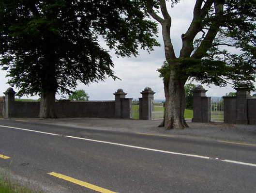 Rock Viewdemesne walls/gates/railings · 1579 yd
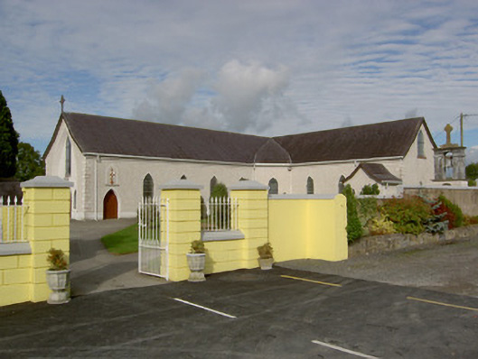 Catholic Church of the Blessed Sacramentchurch/chapel · 1.0 mi
 Castle in ruinsCastle, tower house · 1.1 mi
 Bawn in CastleparkBawn · 1.4 mi
 Athassel PrioryHeritage attraction · 1.5 mi
 Hore AbbeyHeritage attraction · 3.0 mi
 Dundrum Woods (Marl Bog)Forest · 6.0 mi
 European ashEuropean ash · 6.0 mi
 I.R.A. 3rd. Tipperary Brigade MemorialMemorial · 7.9 mi
 SturrakeenMountain / peak · 8.2 mi