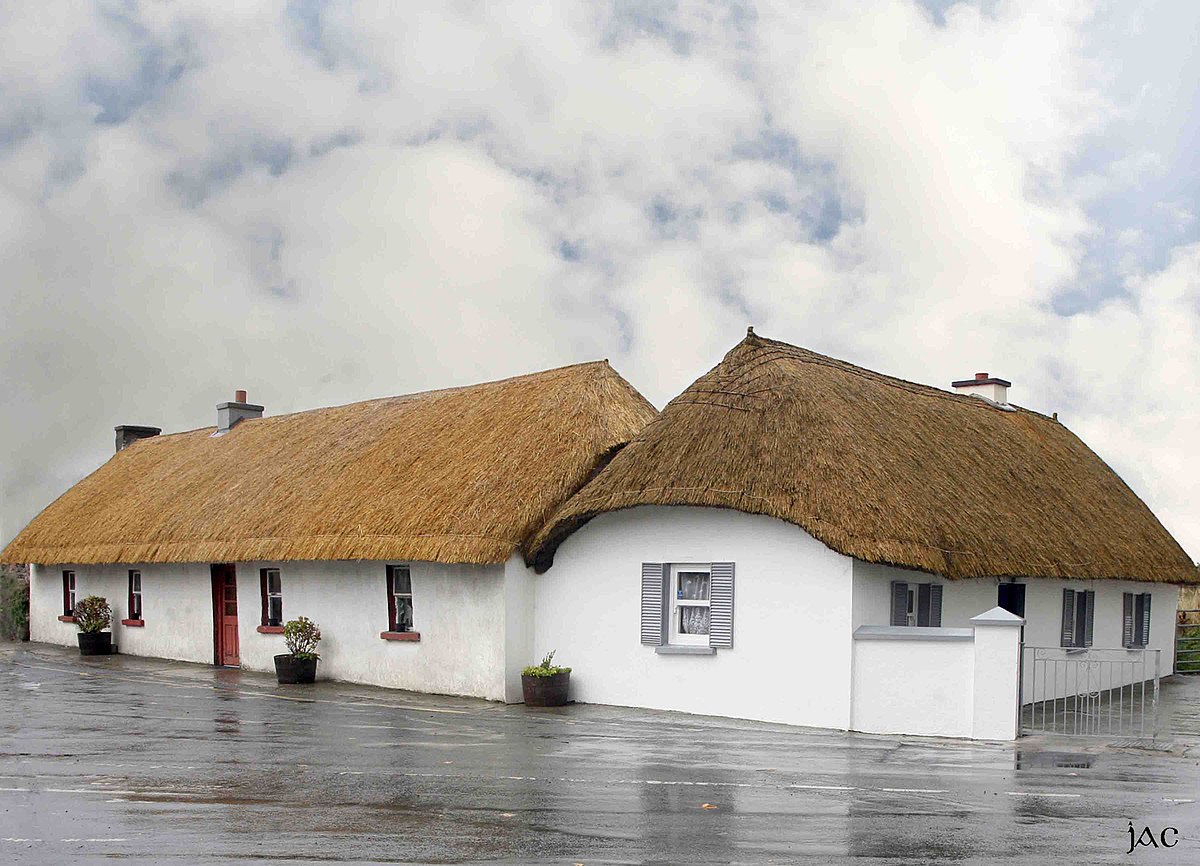
What is recorded here
Approximately 60m NW of the Clogh River, in tillage. A roughly circular enclosure (diam. c. 40m), defined by a wide fosse (c. 5m) which is visible as a cropmark on satellite imagery (Google Earth, Image © 2024 Maxar Technologies, Imagery date 10 August 2022), identified and reported by both Jean-Charles Caillère and Anne-Karoline Distel. A smaller enclosure (KK002-009----) also visible as a cropmark, is located 30m to the SE.
Compiled by: Jean Farrelly
A local fairy fort (ringfort/rath); wider significance not recorded.
The monument record does not grant public access. Check the route and ask the landowner before entering private land.
- What survives
- Recorded monument
Places near here
 CastleCastle, unclassified · 357 yd
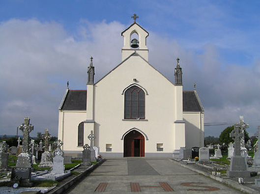 Saint Patrick's Catholic Churchchurch/chapel · 594 yd
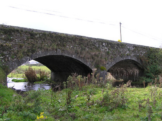 Clogh Bridgebridge · 741 yd
 IndicatedHoly well · 1.4 mi
 EnclosureEnclosure, large enclosure · 1.8 mi
 European ashEuropean ash · 2.5 mi
 Glenmullen WoodWood · 2.7 mi
 Kilgorey Old BurialVisitor information · 2.9 mi
 Ardra LoopWalking route · 3.2 mi
 Footprints In CoalMuseum · 3.6 mi
 Castlecomer Discovery ParkHeritage attraction · 3.6 mi
 Estate YardMemorial · 3.6 mi
Other information
Photo: Credit not shown in the picture search · Rights wording not checked; contact us if this picture should be removed