What is recorded here
Clifford holds a half-acre enclosure called a fort but shaped like a tongue rather than a circle. Maps drawn between 1842 and 1905 marked it as trees, later maps reduced it to scrub, and local memory kept calling it a fort until a landowner cleared the bushes around 1987. Whatever stood there may have been a boundary, a garden, a child's castle or a forgotten ritual place, but the earth no longer answers questions.
Indicated as irregular area (max. dims. 80m N-S; 60m E-W) planted with trees on 1842 and 1905 OS 6-inch maps; as irregular area of scrub on 1935 OS 6-inch map. According to local information, area of approximately half an acre of bushes, known as a 'fort' although 'not circular', site cleared by landowner c. 1987. Access to site denied.
The above description is derived from the published 'Archaeological Inventory of County Cork. Volume 4: North Cork' (Dublin: Stationery Office, 2000). In certain instances the entries have been revised and updated in the light of recent research.
Date of upload/revision: 14 January 2009
The monument record does not grant public access. Check the route and ask the landowner before entering private land.
- What survives
- Recorded monument
Places near here
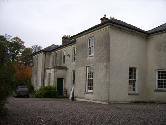 Clifford Housecountry house · 252 yd
 kilnkiln · 406 yd
 CastleCastle, tower house · 1096 yd
 Enclosure in Ballyduff (fermoy By.)Enclosure · 1174 yd
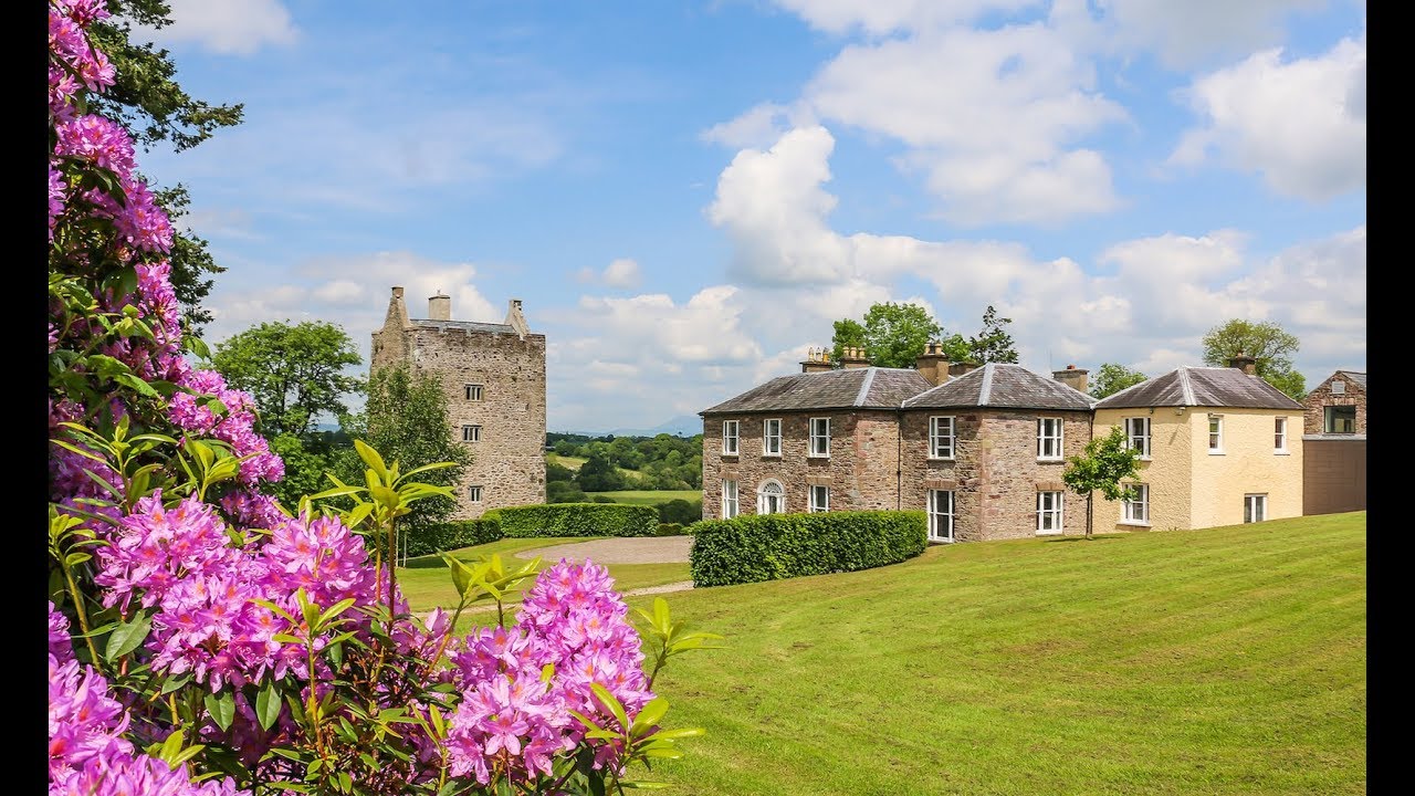 Enclosure in CarrigacunnaEnclosure · 1378 yd
 Monanimy CastleCastle, tower house · 1.0 mi
 Killavuleen LOOPVisitor information · 1.2 mi
 Cave in BallymacmoyCave · 1.2 mi
 Killavullen CavesCave · 1.2 mi
 Blackwater (Avondhu) WayWalking route · 3.0 mi
 Knocknaskagh North TopMountain / peak · 3.0 mi
 Priest's WoodForest · 3.3 mi