
What is recorded here
Near the S edge of a plateau in rough pasture surrounded by coniferous tree plantations. A roughly rectangular enclosure (c. 26m NNE-SSW; c. 23m WNW-ESE) is visible in the NW corner of a field on black and white aerial imagery dated 1995 (Osi MapGenie Imagery). On inspection a D-shaped area (int. dims. 26.8m N-S; 23.9m E-W) defined by a bank at E (Wth 2.3m; int. H 0.1m; ext. H 0.3m) and a slight scarp at S (H 0.1m) was visible, surrounded by a fosse (Wth 2.5-2.7) overgrown with rushes and reeds.
Compiled by: Olive Alcock and Lynda McCormack
Date of upload: 5 August 2022
A local fairy fort (ringfort/rath); wider significance not recorded.
The monument record does not grant public access. Check the route and ask the landowner before entering private land.
- What survives
- Recorded monument
Places near here
 CastleCastle, tower house · 815 yd
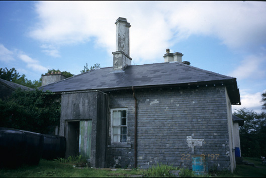 Adelphihouse · 884 yd
 IndicatedEnclosure · 1032 yd
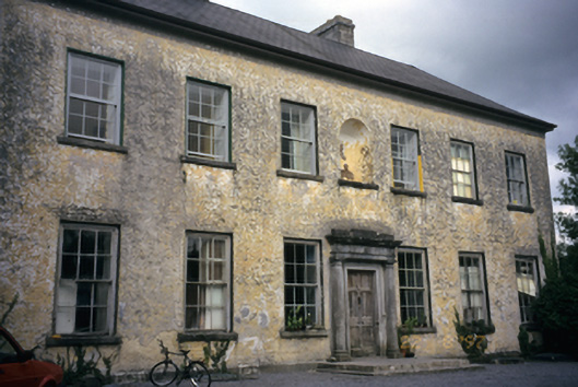 Clifden Housecountry house · 1181 yd
 CahergalFairy fort / earthen ringfort · 1738 yd
 Inchiquin IslandIslet · 1.1 mi
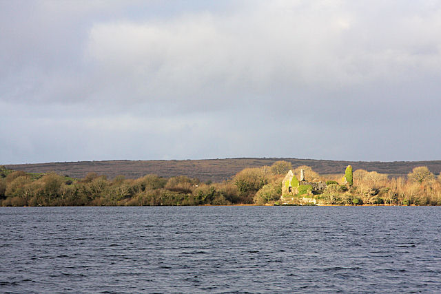 Inchiquin Castle (in ruins)Castle, tower house · 1.1 mi
 Rock IslandIsland · 1.2 mi
 Fergus River CaveCave · 2.0 mi
 European ashEuropean ash · 3.5 mi
 Battle of TullyodeaBattlefield · 4.1 mi
 Burren National ParkVisitor information · 4.5 mi
Other information
Photo: Credit not shown in the picture search · Rights wording not checked; contact us if this picture should be removed