
What is recorded here
From the National Monuments Service (Archaeological Survey of Ireland) record MA060-052
Places near here
Photo credits
- Maker not stated on source page, www.pinterest.com
- Maker not stated on source page, commons.wikimedia.org
- Western People; photographer not stated (Stuart Tynan is article author), www.westernpeople.ie
- National Inventory of Architectural Heritage
- Maker not stated on source page, www.mayo-ireland.ie
- Maker not stated on source page, www.dreamstime.com
- Suzanne Mischyshyn, Geograph · CC BY-SA 2.0
- Keith Salvesen, Geograph · CC BY-SA 2.0
- Colin Park, Geograph · CC BY-SA 2.0
 Megalithic tomb in DerryhickMegalithic tomb · 1248 yd
Explorer Tom Megalithic tomb in Derryhick is playing hard to get, sitting on private land like it owns the view. Two families…
 Holy well in Lack EastHoly well · 1.6 mi
Explorer Tom Holy well in Lack East is stuck in a fairy dispute over parking rights that dates back centuries. The little guys are…
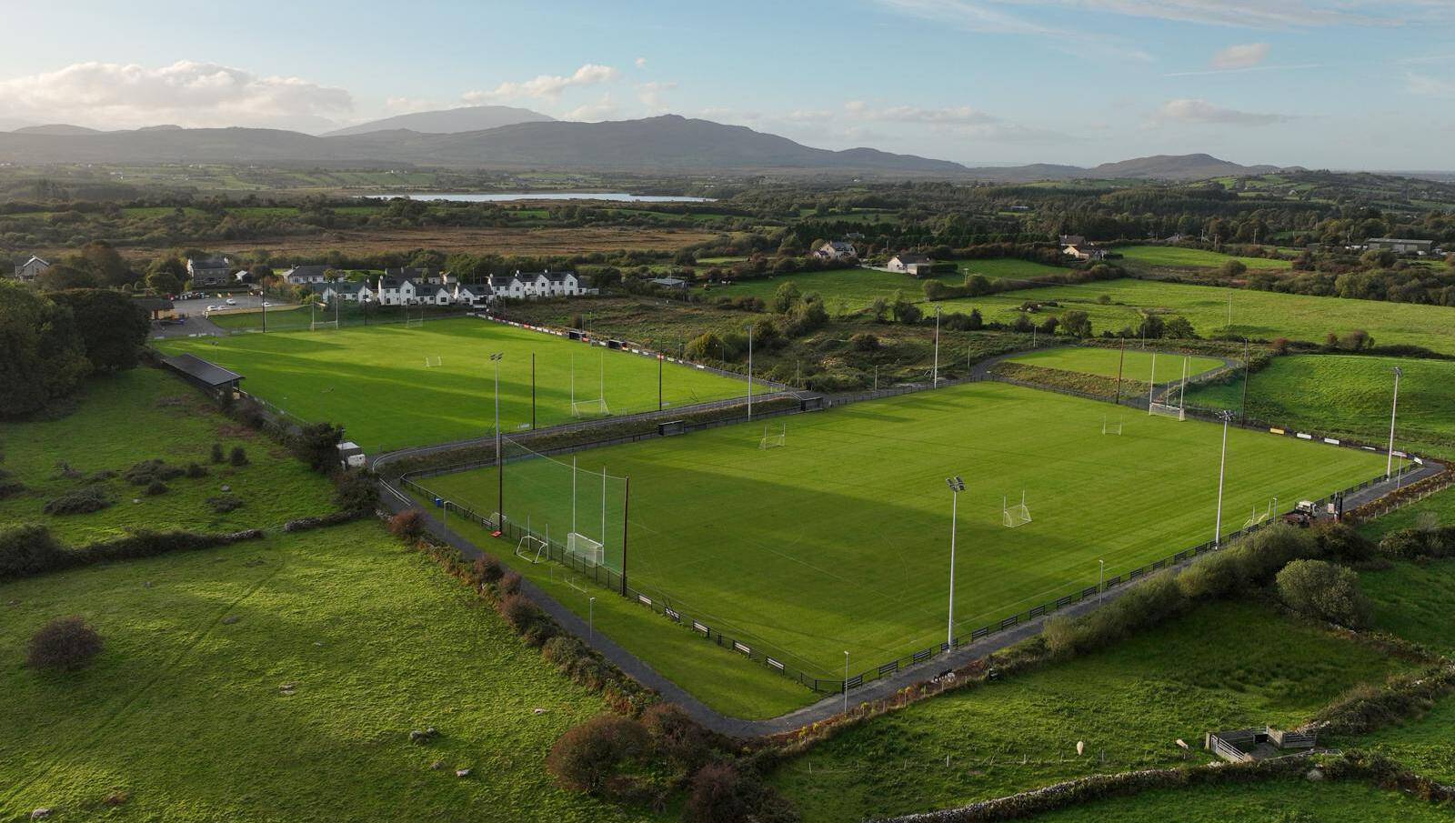 Parke, Parke-Keelogues-Crimlin GAAGAA ground · 2.3 mi
 bridge3.5 mi
Explorer Tom Bridge in Cloghadockan is made of limestone with a 'sparrow pecked' finish, which sounds like the birds were having a…
 Ballyvary, Ballyvary HurlingGAA ground · 4.1 mi
 Turlough ParkGates/railings/walls · 4.2 mi
Explorer Tom Turlough Park’s gateway is part of a self-contained group that looks like it’s trying to impress visitors who will…
 Clydagh BridgeVisitor information · 4.3 mi
Explorer Tom Clydagh Bridge has this visitor info spot that seems to be in a permanent feud with the rain. It’s all muddy and damp…
 Ballynew CemeteryGraveyard · 5.6 mi
Explorer Tom Ballynew Cemetery in County Mayo has made a New Year's resolution to stop being so dramatic about the fog rolling in.…
 MacPhilbins Castle (in ruins)Castle, tower house · 15 mi
Explorer Tom MacPhilbins Castle would win a county fair by simply existing and looking impressive while doing nothing. It’s a tower…
 Tawny RowerMountain / peak · 25 mi
Explorer Tom Tawny Rower in County Mayo is the kind of peak Saint Patrick would have looked at and said, 'Right then, this one needs…
 Sheeffry PassMountain pass · 26 mi
Explorer Tom Sheeffry Pass is the kind of mountain road that makes you feel like an explorer even when you're just trying to find…
 Tievnabinnia se TopMountain / peak · 28 mi
Explorer Tom Tievnabinnia SE Top is giving off major 'I peaked in the eighties' vibes. I reckon a local priest once lost a bet here…
More archaeology and monuments in County Mayo · All of County Mayo

What do you know about this place?Tap to add a comment or ask a question