What is recorded here
Faint cropmark of a circular enclosure visible on aerial photographs (ASIAP ((12) 0-3 and 11).
Compiled by: Claire Breen
Date of upload: 11 January 2012
The monument record does not grant public access. Check the route and ask the landowner before entering private land.
- What survives
- Recorded monument
Places near here
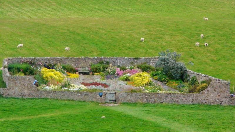 Enclosure in TinrilandEnclosure · 739 yd
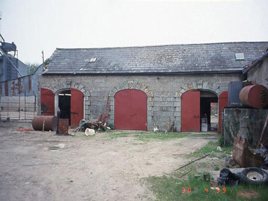 Castletown Castlestables · 791 yd
 Pedunculate OakPedunculate Oak · 837 yd
 Font in LinkardstownFont · 1065 yd
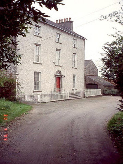 Kyleballyhuehouse · 1144 yd
 Graiguealug Castle in ruinsCastle, unclassified · 1.4 mi
 Site of CastleCastle, unclassified · 1.5 mi
 Church (in ruins), GraveyardChurch · 2.2 mi
 Kilmurry Church (in ruins), GraveyardChurch · 2.3 mi
 Brownshill Portal TombVisitor information · 3.6 mi
 Common LimeCommon Lime · 3.8 mi
 Carlow County MuseumMuseum · 4.1 mi