
What is recorded here
This site is marked as a small circular enclosure on the first edition of the OS map, and is titled 'Fort' on the OS Fair Plan. It is located on gentle sloping pasture on the N bank of the Valencia river and commands a view over Valencia Harbour to SW. It survives as an ovalshaped platform, truncated on its N side by a modern field boundary, and measures 8m N-S x 18m E-W in overall dimensions. A low indistinct stony bank, averaging 1m wide, marks its S and E sides and at S this stands 1.8m above surrounding ground level. A raised rectangular area, 18m x 9m, abuts the length of the site's exterior at S and incorporates rock outcrop in its composition at base. An opening to a Man-made underground passage (KE079-104001-) is locally reputed to occur close to a stream just W of the monument.
The above description is derived from A. O'Sullivan and J. Sheehan (compilers), 'The Iveragh peninsula: an archaeological survey of South Kerry'. Cork University Press (1996), no. 720. In certain instances the entries have been revised and updated in the light of recent research.
Date of upload: 29 July 2013
A local fairy fort (ringfort/rath); wider significance not recorded.
The monument record does not grant public access. Check the route and ask the landowner before entering private land.
- What survives
- Recorded monument
Places near here
 Stone CrossCross · 735 yd
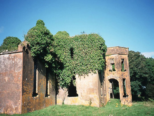 Castlequincountry house · 888 yd
 Foughil IslandIslet · 905 yd
 Burnt spread in CastlequinBurnt spread · 1050 yd
 Church (in ruins)Church · 1200 yd
 Ballycarbery CastleRuins · 1221 yd
 OutlinedBawn · 1225 yd
 Ballycarbery Castle (in ruins)Castle, hall-house · 1228 yd
 White Strand BeachBeach / strand · 1.5 mi
 BenteeMountain / peak · 1.6 mi
 Laharn Bog LoopWalking route · 2.2 mi
 SlievaghMountain / peak · 2.4 mi
Other information
Photo: Credit not shown in the picture search · Rights wording not checked; contact us if this picture should be removed