
What is recorded here
Situated on the W-facing slope of a ridge in undulating pasture. Two conjoined enclosures are marked on the 1913 edition of the OS 6-inch map. Only the NE half of this, the second, and the larger of the two, is depicted on the OS 6-inch map. It is shown as abutting the ENE side of the first, a rath (SL013-063001-). This monument has been levelled and there are no remains now visible at ground level.
___________________________________________________________________
Compiled by: Patrick F. O'Donovan
Date of upload: 19 January 2011
A local fairy fort (ringfort/rath); wider significance not recorded.
The monument record does not grant public access. Check the route and ask the landowner before entering private land.
- What survives
- Recorded monument
Places near here
 IndicatedHilltop enclosure · 168 yd
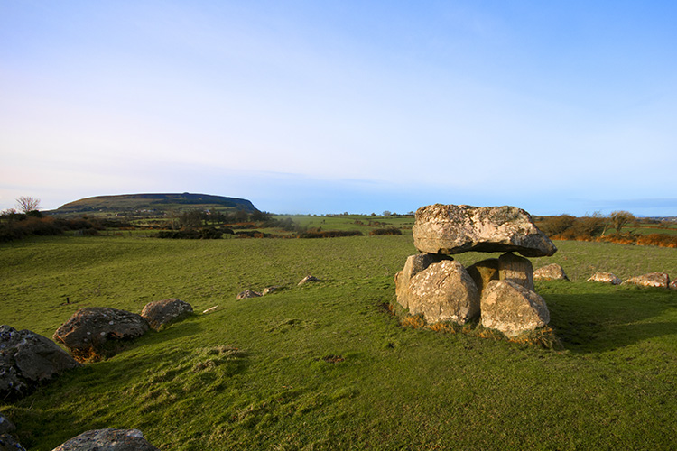 Megalithic structure in CarrowgilhoolyMegalithic structure · 390 yd
 Bawn in CarrowbrickeenBawn · 1156 yd
 BawnmoyleRuins · 1168 yd
 Derk HouseOfficially recorded historic building · 1.0 mi
 Derkmore PointHeadland · 1.4 mi
 CastleCastle, ringwork · 1.6 mi
 Giant's GraveArchaeological place · 2.0 mi
 Lahanacappul IslandIslet · 2.1 mi
 Portavaud PointHeadland · 2.1 mi
 Dunmoran StrandBeach / strand · 2.2 mi
 Valley WoodForest · 2.9 mi
Other information
Photo: Credit not shown in the picture search · Rights wording not checked; contact us if this picture should be removed