
What is recorded here
From the National Monuments Service (Archaeological Survey of Ireland) record GA116-016
Places near here
Photo credits
- National Inventory of Architectural Heritage
- Maker not stated on source page, www.alamy.com
- Maker not stated on source page, monumentalireland.ie
- Maker not stated on source page, ru.pinterest.com
- Maker not stated on source page, www.boboandchichi.com
- Maker not stated on source page, archaeology.org
- Maker not stated on source page, tr.pinterest.com
- Maker not stated on source page, www.pinterest.com
- Maker not stated on source page, www.irishmirror.ie
 Saint Brendan's Catholic ChurchChurch/chapel · 1220 yd
Explorer Tom Saint Brendan's Catholic Church is having a bit of a dramatic standoff with the nearest tree for attention. It’s been a…
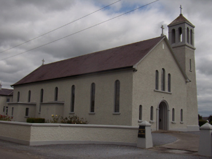 Catholic Church of the Holy FamilyChurch/chapel · 1309 yd
Explorer Tom Catholic Church of the Holy Family took about three million cups of tea to build, if you ask me. It’s got those…
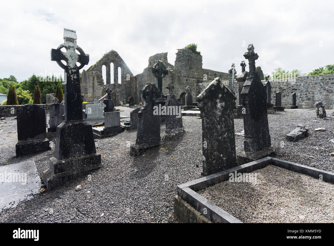 Mapped graveyardGraveyard · 1348 yd
Explorer Tom Mapped graveyard in County Galway was nearly sold for a horse because someone thought it looked like a very expensive…
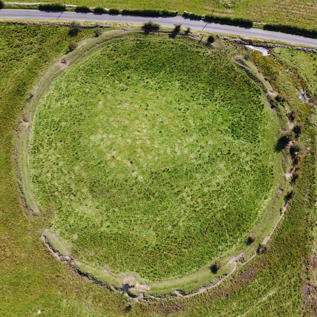 Fairy fort / earthen ringfort in Streamstown (leitrim By.)Fairy fort / earthen ringfort · 1394 yd
Explorer Tom Fairy fort / earthen ringfort in Streamstown has an underground passage that’s definitely not haunted, even though…
 Graveyard in Lisheen NorthGraveyard · 1.2 mi
Explorer Tom Graveyard in Lisheen North is incredibly proud of being the only place in town that hasn’t changed at all since the…
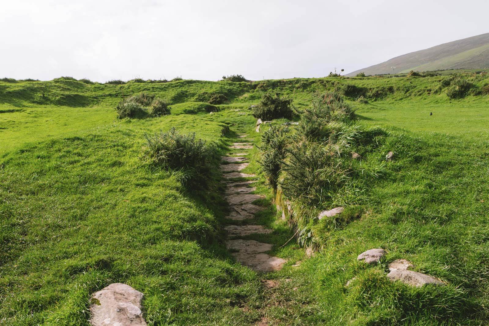 Fairy fort / earthen ringfort in Grange MoreFairy fort / earthen ringfort · 1.4 mi
Explorer Tom Fairy fort / earthen ringfort in Grange More is poorly preserved and cut by field walls, which means the dance held…
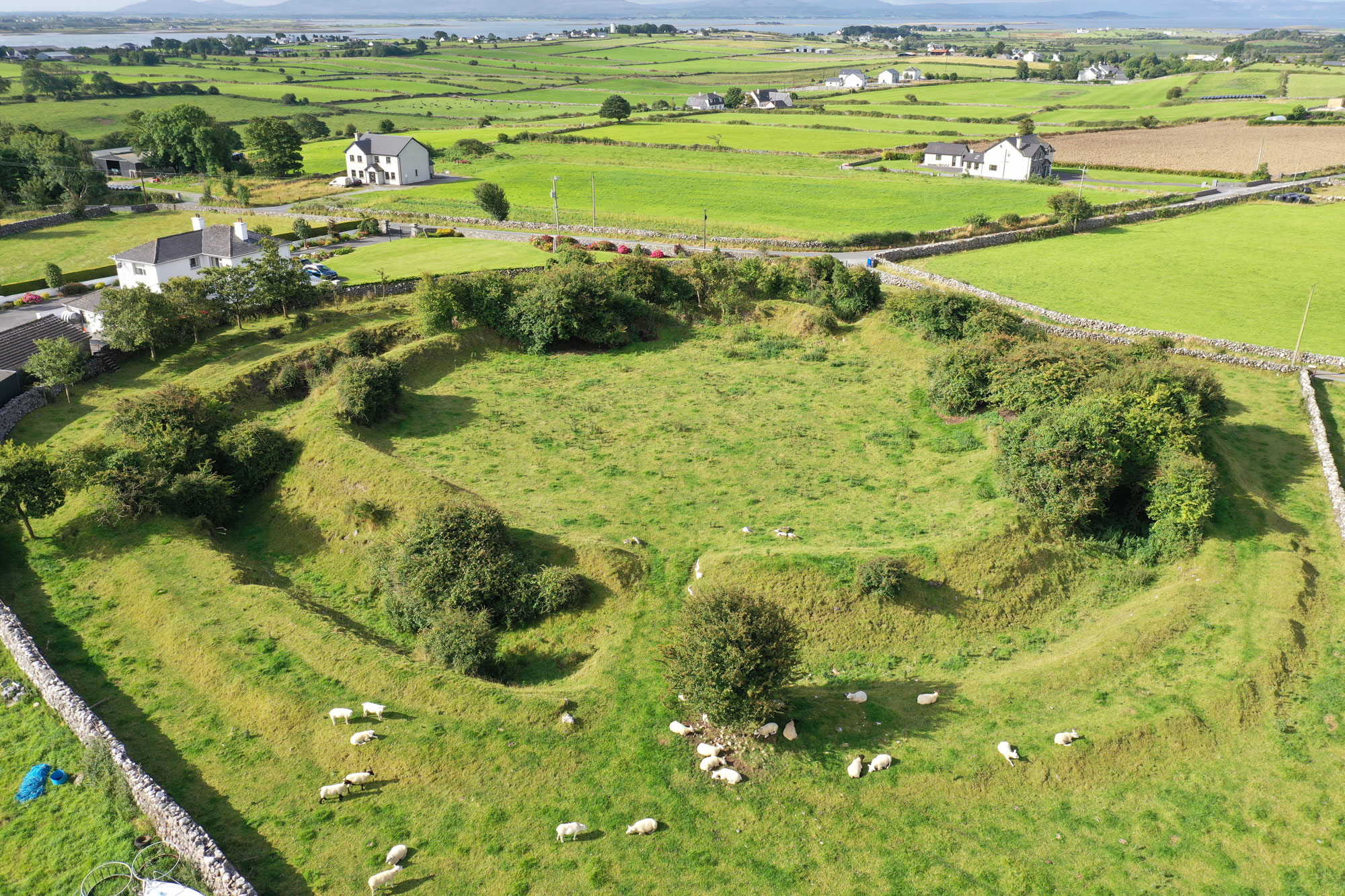 Fairy fort / earthen ringfort in LisheennagatFairy fort / earthen ringfort · 1.4 mi
Explorer Tom Right, this ringfort in Lisheennagat is clipped by a field boundary, so it looks like someone took a bite out of it…
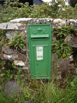 post box1.5 mi
Explorer Tom Post box in Lisheen South is cursed so that anyone who doesn't wave at it will have their socks mismatched for a week.…
 Fairy fort / earthen ringfort in LisnagryFairy fort / earthen ringfort · 1.7 mi
Explorer Tom Fairy fort / earthen ringfort in Lisnagry is having a bit of a moment. A linear depression suggests an underground…
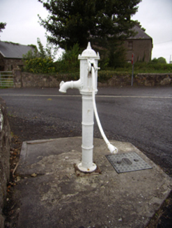 water pump1.7 mi
Explorer Tom Water pump in Duniry is still pumping after a century and has developed a serious grudge against local council. With…
 Church (in ruins)Church · 1.8 mi
Explorer Tom Church in Lackabaun is getting a bit of a bad rap from the local sheep who think it’s taking up too much grazing space.…
 Duniry Pitch, Tynagh-Abbey Duniry Hurling ClubGAA ground · 1.9 mi
More archaeology and monuments in County Galway · All of County Galway

What do you know about this place?Tap to add a comment or ask a question