
What is recorded here
Located on the edge of a ridge in undulating pastureland. Comprises an oval enclosure (Dims. 19m N-S by 15.50m E-W). It is enclosed by a single bank of earth and stone (Wth 4m, H 1.40m) and an external ditch (Wth 3.50m, D 1m.) in the N.
Compiled by: Geraldine stout
Date of upload: 16 August 2013
A local fairy fort (ringfort/rath); wider significance not recorded.
The monument record does not grant public access. Check the route and ask the landowner before entering private land.
- What survives
- Recorded monument
Places near here
 IndicatedEnclosure · 216 yd
 Enclosure in Tullynagracken SouthEnclosure · 1365 yd
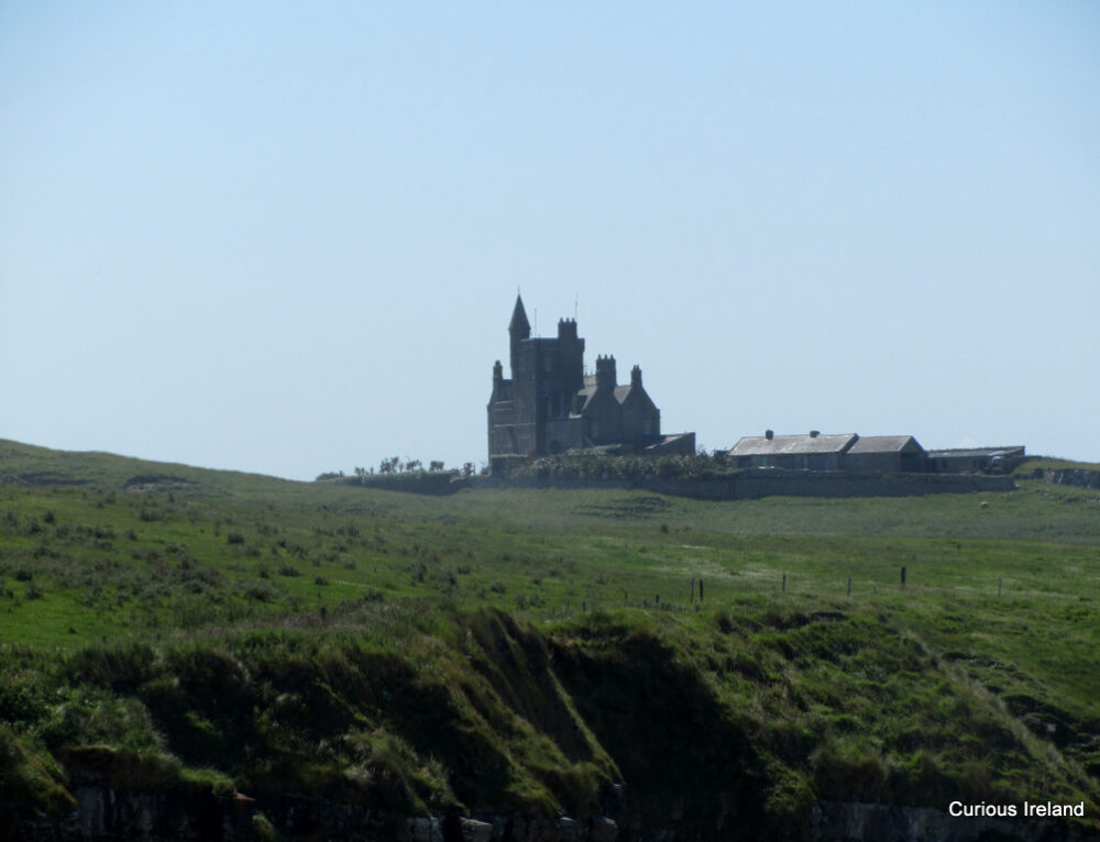 CastleCastle, unclassified · 1.1 mi
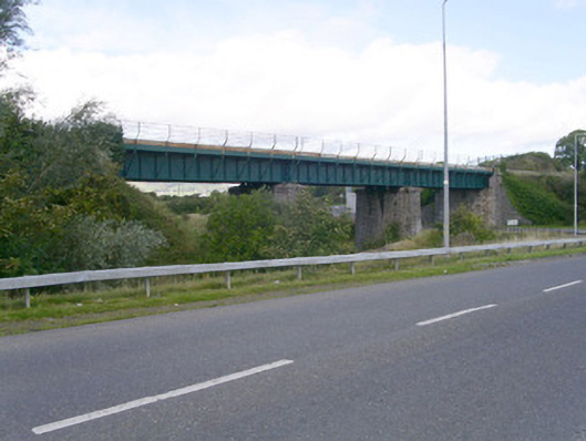 bridgebridge · 1.1 mi
 Ballydrehid Br.Bridge · 1.1 mi
 Carrowmore Megalithic CemeteryHeritage attraction · 1.7 mi
 Carrowmore Visitors CentreVisitor information · 1.7 mi
 Tobernalt Holy WellSpring · 1.8 mi
 Aghamore BayBay · 2.0 mi
 Green IslandIslet · 2.0 mi
 Bernard's IslandIslet · 2.2 mi
 Strawberry treeStrawberry tree · 2.3 mi
Other information
Photo: Credit not shown in the picture search · Rights wording not checked; contact us if this picture should be removed