What is recorded here
This record is based on a church shown in the general area of Tullynagracken townland on a chart drawn in the late 1590’s by the Italian cartographer, Baptista Boazio’s. The precise location of the church is unknown.
Compiled by: Jane O'Shaughnessy
Date of upload: 17 April 2019
The monument record does not grant public access. Check the route and ask the landowner before entering private land.
- What survives
- Recorded monument
Places near here
 Enclosure in Tullynagracken SouthEnclosure · 419 yd
 Man-made underground passage in Carns (carbury By.)Man-made underground passage · 997 yd
 Tobernalt Holy WellSpring · 1514 yd
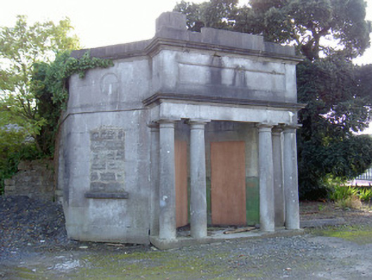 Sligo Cemeterygate lodge · 1.0 mi
 Green IslandIslet · 1.1 mi
 Aghamore BayBay · 1.2 mi
 Bernard's IslandIslet · 1.3 mi
 Strawberry treeStrawberry tree · 1.3 mi
 Tiffin's IslandWood · 1.3 mi
 Albert Househouse · 1.5 mi
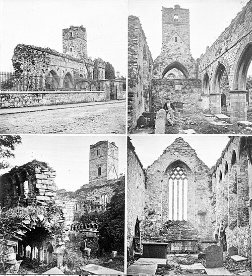 Sligo AbbeyMuseum · 1.9 mi
 St. John's CathedralMemorial · 1.9 mi