
What is recorded here
Enclosure in Carlow is a hidden circular site where field boundaries and a road still mark the edge of a lost fort. It appears on the 1839 map as ringfort-sized, yet no surface trace remains for a visitor to touch. The land may have swallowed its walls while people kept walking the old line, carrying the shape of the place into ordinary farm life.
The following description is derived from the published 'Archaeological Inventory of County Carlow' (Dublin: Stationery Office, 1993). In certain instances the entries have been revised and updated in the light of recent research.
Date of upload/revision: 17 July 2007
Shown on 1839 'OS 6-inch' map as circular enclosure of ringfort size. No visible surface traces. Site is associated with what appears to be a larger circular enclosure (diam. 150m) defined by field boundaries and road. Enclosed area includes some fairly undulating ground (max. diam. c. 40m).
The monument record does not grant public access. Check the route and ask the landowner before entering private land.
- What survives
- Recorded monument
Places near here
 Courthouse in CarlowCourthouse · 796 yd
 EnclosureEnclosure, large enclosure · 894 yd
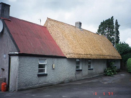 farm housefarm house · 1075 yd
 Carlow County MuseumMuseum · 1375 yd
 CastleCastle, Anglo-Norman masonry castle · 1435 yd
 Carlow CastleRuined medieval castle · 1438 yd
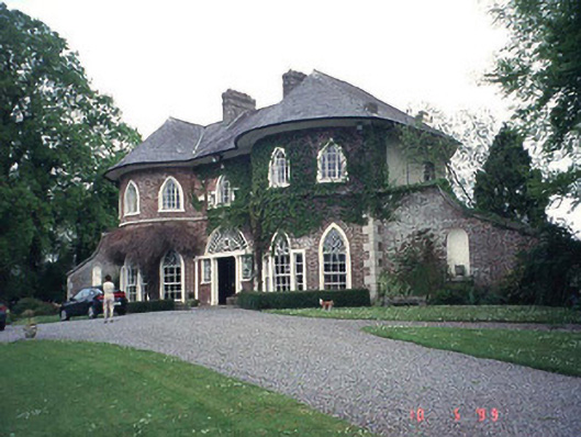 Erindalecountry house · 1449 yd
 Pedunculate OakPedunculate Oak · 1.0 mi
 White willowWhite willow · 1.8 mi
 Clogrenan CastleCastle, tower house · 1.9 mi
 Graveyard in Tomard Lower (3 Detached Portions)Graveyard · 4.5 mi
 Kilmurry Church (in ruins), GraveyardChurch · 5.5 mi
Other information
Photo: Credit not shown in the picture search · Rights wording not checked; contact us if this picture should be removed