
What is recorded here
On the NW edge of a marsh, c. 600m S of the Burren River. A large roughly circular enclosure (dims. c. 93m) identified as a cropmark on Google Earth Pro imagery (imagery date 14 July 2018) by Jean-Charles Caillère. The cropmark, indicating a fosse, is not visible in the S-SE sector where it may have run up to and incorporated the edge of the march. There are two parallel cropmarks (Wth apart c. 5m) running E-W just N of the centre of the enclosure. There is also the suggestion of a roughly circular, possibly bivallate enclosure in the SW quadrant, partially utilising the fosse of the larger enclosure.
See attached image:
CW007-175----_01Google Earth Pro imagery
Compiled by: Jean Farrelly
Date of upload: 4 September 2019
A large roughly circular early-medieval ringfort, likely dating to between the 5th and 10th centuries, identified as a cropmark near the Burren River. No specific folklore or historical traditions are currently associated with this site.
The monument record does not grant public access. Check the route and ask the landowner before entering private land.
- What survives
- Recorded monument
Places near here
 Enclosure in CarlowEnclosure · 894 yd
 Enclosure in QuinaghEnclosure · 1029 yd
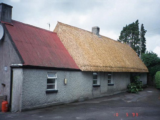 farm housefarm house · 1150 yd
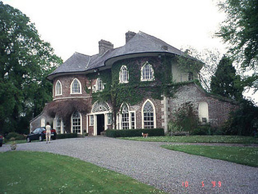 Erindalecountry house · 1732 yd
 Carlow County MuseumMuseum · 1.2 mi
 CastleCastle, Anglo-Norman masonry castle · 1.3 mi
 Carlow CastleRuined medieval castle · 1.3 mi
 Pedunculate OakPedunculate Oak · 1.5 mi
 Clogrenan CastleCastle, tower house · 1.9 mi
 White willowWhite willow · 2.0 mi
 Graveyard in ClonmelshGraveyard · 3.0 mi
 Graveyard in Tomard Lower (3 Detached Portions)Graveyard · 4.3 mi
Other information
Photo: Credit not shown in the picture search · Rights wording not checked; contact us if this picture should be removed