What is recorded here
In reclaimed grassland. Outline of circular-shaped area (approx. diam. 22m) defined by a fosse visible on Digital Globe orthophoto taken 2011-13 and earlier OSi orthophotos.
Compiled by: Caimin O'Brien
Date of upload: 24 June 2020
The monument record does not grant public access. Check the route and ask the landowner before entering private land.
- What survives
- Recorded monument
Places near here
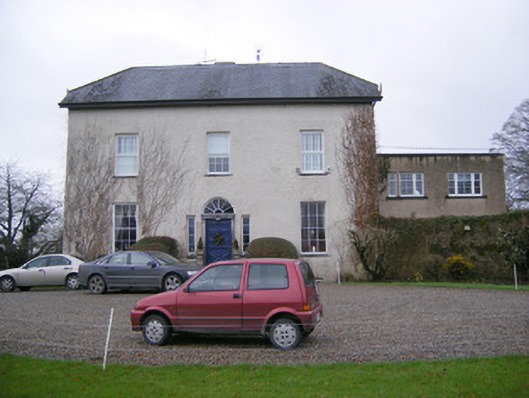 Abington Rectoryrectory/glebe/vicarage/curate's house · 472 yd
 BarrowBarrow, unclassified · 1065 yd
 KilnKiln, corn-drying · 1091 yd
 Field system in RathField system · 1112 yd
 Sliev Felim WayVisitor information · 1.0 mi
 Bawn in RathBawn · 1.0 mi
 CastleCastle, unclassified · 1.2 mi
 Graveyard in AbingtonGraveyard · 1.2 mi
 Slieve Felim WayWalking route · 3.3 mi
 Slieve FelimMountain / peak · 4.3 mi
 Slieve Felim East TopMountain / peak · 5.2 mi
 ToberagaddySpring · 5.7 mi