
What is recorded here
From the National Monuments Service (Archaeological Survey of Ireland) record KD003-009
Places near here
Photo credits
- Maker not stated on source page, monumentalireland.ie
- National Inventory of Architectural Heritage
- Maker not stated on source page, ru.pinterest.com
- Maker not stated on source page, www.pinterest.com
- Maker not stated on source page, www.irishexaminer.com
- Maker not stated on source page, en.topwar.ru
- Kmcnamee, Wikimedia Commons · CC BY-SA 4.0
- Golfing in Ireland; photographer not stated, Source publisher
- Dougbermingham at English Wikipedia, Wikimedia Commons · CC0
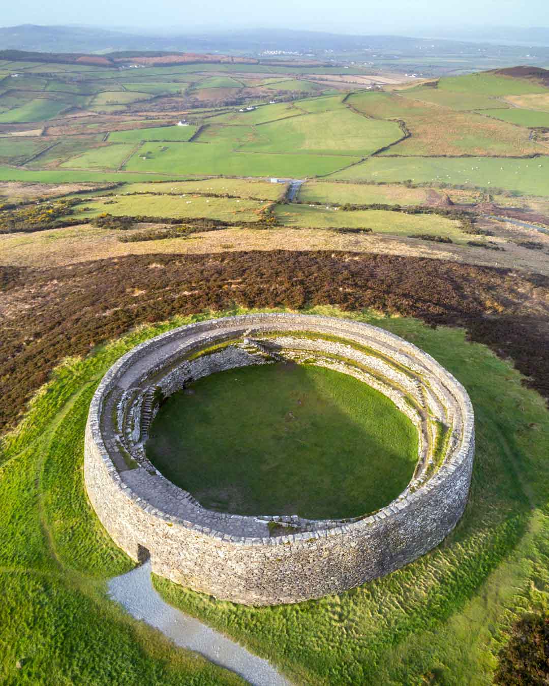 Fairy fort / earthen ringfort in CadamstownFairy fort / earthen ringfort · 587 yd
Explorer Tom Fairy fort / earthen ringfort in Cadamstown is playing hard to get. The whole parish once argued over a circle of dirt…
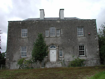 Ballinderry HouseHouse · 841 yd
Explorer Tom Ballinderry House in Ballinderry thinks Dublin tourists are loud and over-caffeinated, which is fair enough. It’s got…
 Mylerstown CemeteryCemetery · 1106 yd
Explorer Tom Mylerstown Cemetery in Kildare was saved from bulldozers by a hero nobody remembers, who just stood in front of the…
 CastleCastle, unclassified · 1279 yd
Explorer Tom Castle in Ballinderry was recorded on a map but the exact spot has slipped through our fingers like wet soap. A goat…
 post box1299 yd
Explorer Tom Post box in Ballinderry is definitely where the map makers went wrong because it looks confused about its own era. King…
 Mapped graveyardGraveyard · 1611 yd
Explorer Tom Mapped graveyard in Kildare thinks Dublin tourists are loud, over-dressed, and always asking if the headstones are made…
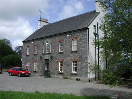 Kilglass HouseHouse · 1.2 mi
Explorer Tom Kilglass House in Kilglass has a secret talent for making the wind sound like a bagpipes player who’s had too much tea.…
 Fairy fort / earthen ringfort in Mylerstown (drehid Ed)Fairy fort / earthen ringfort · 1.2 mi
Explorer Tom Fairy fort / earthen ringfort in Mylerstown got into a massive fight with the next village over who had better…
 Enclosure in Clonagh (cadamstown Ed)Enclosure · 1.3 mi
Explorer Tom Enclosure in Clonagh is a faint circle where a priest once lost a bet and a lot of dignity to the mud. Thirty metres of…
 Balrinnet, BroadfordGAA ground · 1.9 mi
 Moyvalley Golf ClubGolf course · 2.0 mi
 Carbury CastleCastle · 2.1 mi
Explorer Tom Carbury Castle has a hill full of building periods and a local tale about Saint Patrick that I would never dare pass…
More archaeology and monuments in County Kildare · All of County Kildare

What do you know about this place?Tap to add a comment or ask a question