What is recorded here
Enclosure in Caher is a lost circular fort on a Cork hill, reduced to a hidden ridge beneath a forest road. Local information claims part of the wall still stands under a modern ditch bank, waiting for someone patient enough to listen for stone under soil. The trees have taken back the sky, but the fort may still be breathing beneath the roots.
On top of a hill, in forestry. Depicted on 1936 OS 6-inch map as hachured circular enclosure (diam. c. 18m). Levelled; according to local information portion of "fort" survives W of new forest road, under bank of material excavated from recent ditch.
The above description is derived from the published 'Archaeological Inventory of County Cork. Volume 2: East and South Cork' (Dublin: Stationery Office, 1994). In certain instances the entries have been revised and updated in the light of recent research.
Date of upload/revision: 14 January 2009
The monument record does not grant public access. Check the route and ask the landowner before entering private land.
- What survives
- Recorded monument
Places near here
 Monaloo Housecountry house · 1.3 mi
 Sandyhill Housecountry house · 1.4 mi
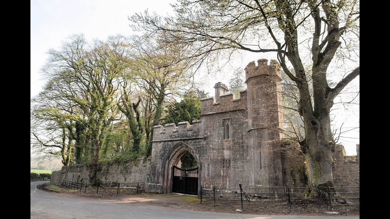 Enclosure in MonavarnogeEnclosure · 1.4 mi
 Salt HillMountain / peak · 1.6 mi
 CillínBurial ground · 1.8 mi
 Leahy's Open FarmHeritage attraction · 1.9 mi
 Ballyknock Castle (Site of)Castle, unclassified · 2.1 mi
 Clonmult Ambush SiteBattlefield · 3.9 mi
 Graveyard in KillasseraghGraveyard · 4.2 mi
 Glenbower WoodForest · 4.7 mi
 CastleCastle, unclassified · 4.8 mi
 Graveyard in Curraheen (kinnatalloon By.)Graveyard · 5.1 mi