What is recorded here
Located on a slight E-facing slope. The faint cropmarks of two subrectangular enclosures (dims c. 20m x 25m) are visible on aerial photograph (CUCAP, ASZ 36). These are probably small fields, and are not visible at ground level in pasture.
The above description is derived from the published 'Archaeological Inventory of County Wexford' (Dublin: Stationery Office, 1996). In certain instances the entries have been revised and updated in the light of recent research.
Compiled by: Michael Moore
Date of upload/revision: 21 March, 2014
The monument record does not grant public access. Check the route and ask the landowner before entering private land.
- What survives
- Recorded monument
Places near here
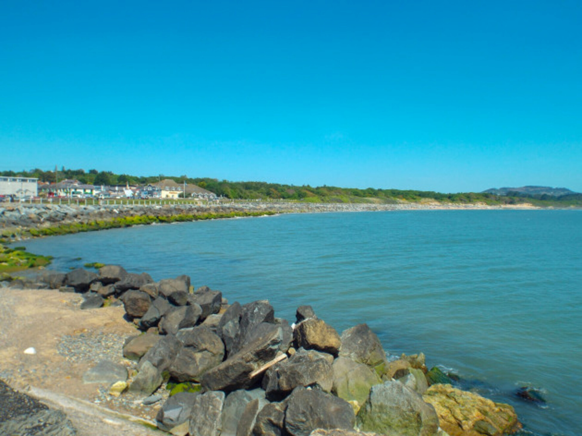 Not idnicatedField system · 544 yd
 Wind MillWindmill · 843 yd
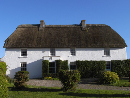 farm housefarm house · 1177 yd
 CastleHouse, fortified house · 1206 yd
 Chapel in Ballytory LowerChapel · 1651 yd
 InishIsland · 1678 yd
 Castle (in ruins)Castle, tower house · 1.2 mi
 The Chour / The Hill of the ChourMountain / peak · 1.3 mi
 ScargeenIsland · 1.4 mi
 Lady's IslandVisitor information · 1.6 mi
 The CaamstoneNamed rock · 1.8 mi
 Wilson's MoorWood · 1.9 mi