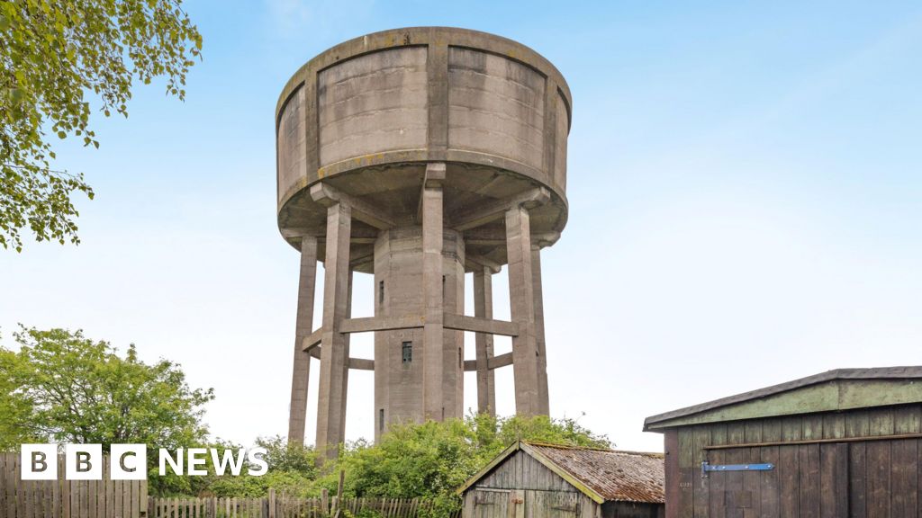
What is recorded here
In field of corn on a S-facing slope of rising ground in upland region with good views from W through S to E, higher land to N. Nearby enclosure (TS054-079002-) 100m in adjoining field to E. Enclosure not visible at ground level. A map of the district from 1824 shows two enclosures in the area marked on the 6-inch map (NLI 16.I.17(1)).
Compiled by: Jean Farrelly
Date of upload: 26 August 2011
The monument record does not grant public access. Check the route and ask the landowner before entering private land.
- What survives
- Recorded monument
Places near here
 Enclosure in Ballincurry (crohane Par.)Enclosure · 114 yd
 RathanaffrinFairy fort / earthen ringfort · 641 yd
 CastleCastle, motte · 1373 yd
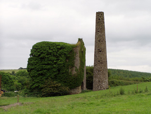 Mardyke Collieryengine house · 1580 yd
 Coolquill CastleCastle · 1645 yd
 Mine in Ballinunty (graystown Par.),tullequaneMine · 1.3 mi
 Waterloo HillMountain / peak · 1.7 mi
 Slieveardagh Heritage CentreVisitor information · 2.4 mi
 Eagle HillMountain / peak · 2.7 mi
 Derrynaflan TrailHeritage attraction · 3.9 mi
 Gobban Saer's GraveArchaeological place · 4.8 mi
 Fenane WoodForest · 5.9 mi
Other information
Photo: Credit not shown in the picture search · Rights wording not checked; contact us if this picture should be removed