
What is recorded here
A colour vertical aerial photograph taken in 1992 (OS 8, 1526) shows a cropmark of a circular feature (diam. c. 28m) with traces of fosses radiating from the NW and E. This is probably a levelled ringfort with associated field system. Formerly located in a field of corn in a low-lying area south of the Broadmeadow River, it is now under the Applewood housing estate.
Compiled by: Geraldine Stout
Updated by: Christine Baker
Date of upload: 09 January 2015
The monument record does not grant public access. Check the route and ask the landowner before entering private land.
- What survives
- Recorded monument
Places near here
 Ring-ditch in HolybanksRing-ditch · 340 yd
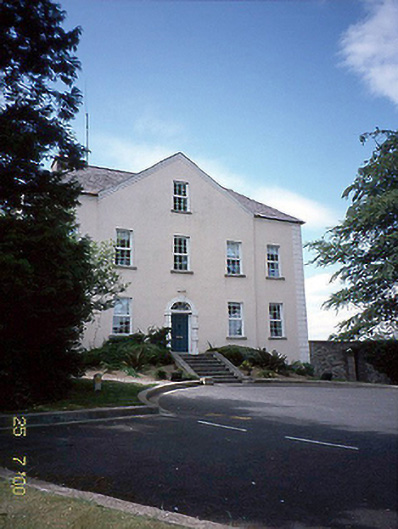 Newtown Housecountry house · 608 yd
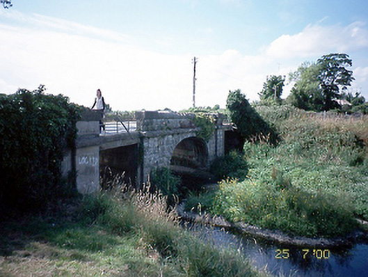 Newtown Bridgebridge · 752 yd
 Ecclesiastical enclosure in Oldtown (nethercross By.)Ecclesiastical enclosure · 886 yd
 St Cronans WellSpring · 1252 yd
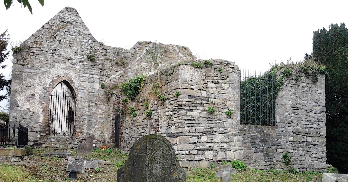 CastleCastle, tower house · 1318 yd
 Fingal Tourism OfficeVisitor information · 1558 yd
 Tower (in ruins), Castle and ChapelCastle, Anglo-Norman masonry castle · 1576 yd
 Swords Round TowerHeritage attraction · 1690 yd
 The JackoWood · 1.0 mi
 Kim Archibold MemorialMemorial · 1.0 mi
 St Colmcilles WellVisitor information · 1.1 mi
Other information
Photo: Credit not shown in the picture search · Rights wording not checked; contact us if this picture should be removed