What is recorded here
Cropmark of enclosure (approx. diam. 27m) that has been partially quarried into at SW visible on Google earth aerial imagery.
See attached image taken from Google Earth aerial photographs taken 28/06/2018.
Compiled by: Caimin O'Brien based on details kindly provided by Faith Bailey.
Date of upload: 16 November 2018
The monument record does not grant public access. Check the route and ask the landowner before entering private land.
- What survives
- Recorded monument
Places near here
 Enclosure in Killashee (killashee Ed)Enclosure · 948 yd
 St Patricks WellHoly well · 1050 yd
 Site of CastleCastle, unclassified · 1384 yd
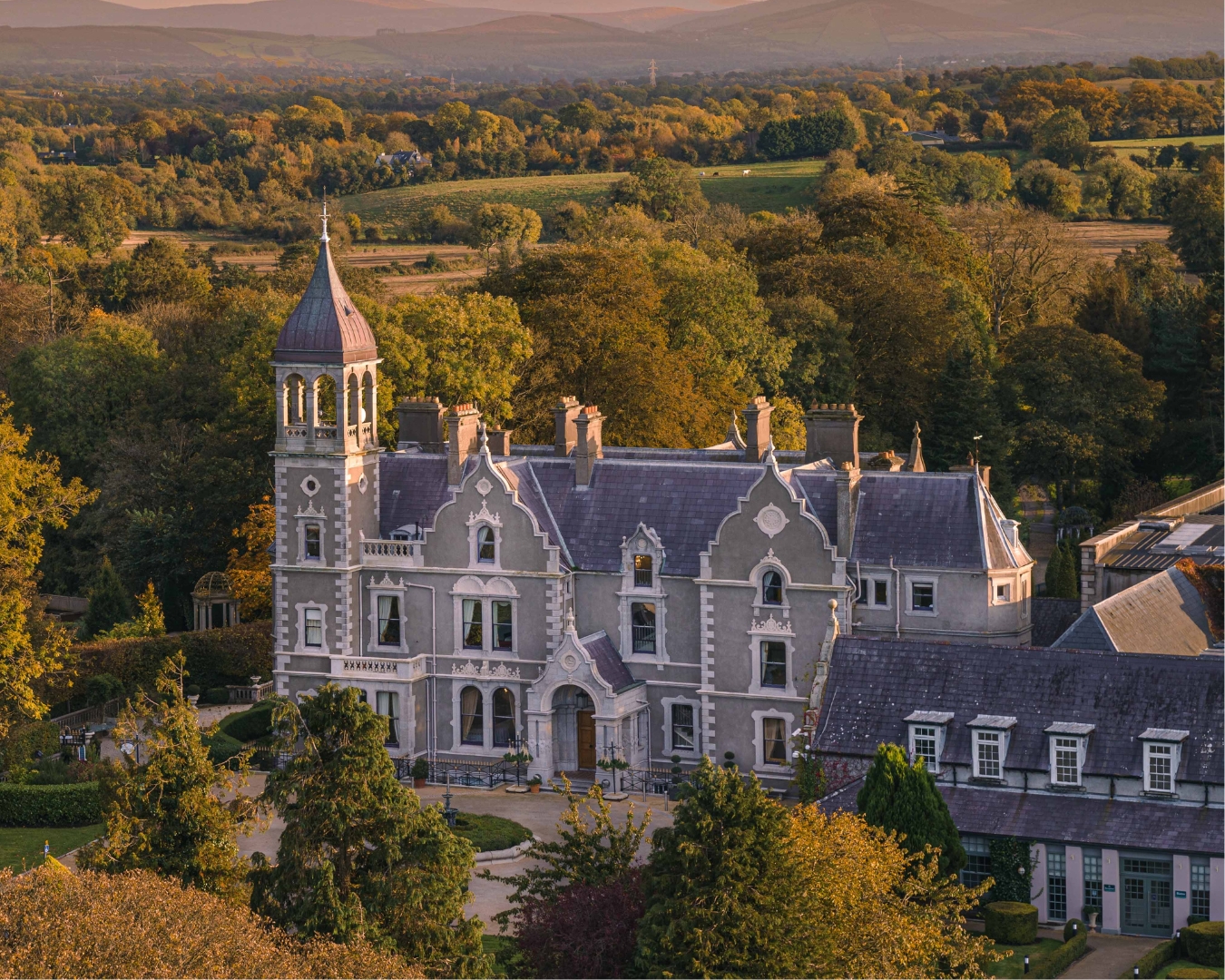 Church in Killashee (killashee Ed)Church · 1442 yd
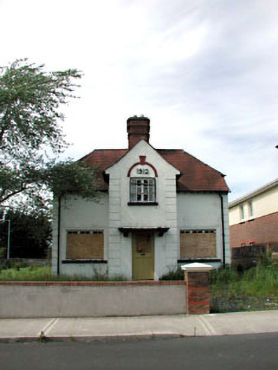 Ballycane Househouse · 1.4 mi
 South Moat, Ordnance Ground, Fair GreenCastle, motte · 1.7 mi
 Poplar SquarePicnic place · 2.1 mi
 Sillagh Bog WoodForest · 2.1 mi
 Monread District Park WoodsWood · 2.8 mi
 Councillor Jim MileyMemorial · 5.0 mi
 Proclamation of the Irish RepublicMemorial · 5.1 mi
 Cupidstown HillMountain / peak · 7.0 mi