What is recorded here
In undulating wet pasture, midway along the top of a low elongated dry rise. A slightly raised roughly circular area (8m N-S; 9m E-W) defined by an earth and stone bank (Wth 3.9m; int. H 0.7m; ext. H 1.05m) ENE-NNE and by a low scarp elsewhere. The bank is best preserved WNW-NNE having sharp inner and outer profiles but is more irregular elsewhere. The interior is undulating, dry and clear of overgrowth. Immediately to S is a roughly crescent-shaped annexe (12m N-S; 18m E-W) defined by the recut natural slope SSE-NNW. The interior of the annexe is undulating, dry and clear of overgrowth and c. 1m below the interior of the adjacent enclosure. A section of the 'Red' Earl's Road (see SL033-147----) is c. 60m to S and a disused quarry is 20m to N.
The above description is derived from the published 'Archaeological Inventory of County Sligo' compiled by Ursula Egan, Elizabeth Byrne, Mary Sleeman with Sheila Ronan and Connie Murphy (Dublin Stationery Office, 2005).
Date of upload: 18 January 2008
The monument record does not grant public access. Check the route and ask the landowner before entering private land.
- What survives
- Recorded monument
Places near here
 Bothar an Iarla Ruaidh or the Red Earls RoadRoad, road/trackway · 250 yd
 Bricklieve Castle (in Ruins)Castle, unclassified · 629 yd
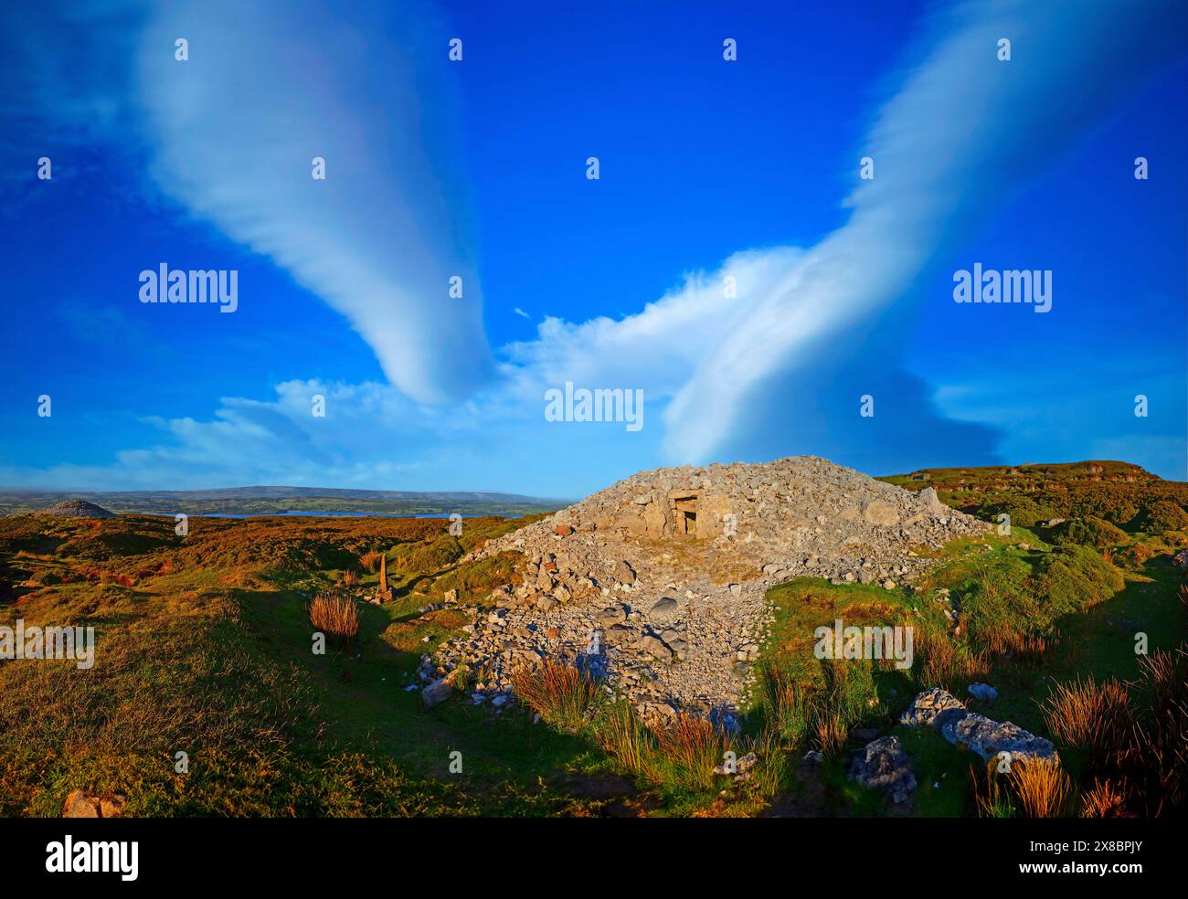 Man-made underground passage in BricklieveMan-made underground passage · 730 yd
 CaltraghFairy fort / earthen ringfort · 1378 yd
 School CaveCave · 1.2 mi
 Quarry in CarnaweeleenQuarry · 1.2 mi
 Castle BaldwinCastle · 1.6 mi
 Kesh CorannMountain / peak · 1.7 mi
 Treanscrabbagh caveCave · 1.8 mi
 Bricklieve MountainsMountain / peak · 2.2 mi
 Caves of KeshCave · 2.2 mi
 Annaghgowla IslandIslet · 2.8 mi