What is recorded here
In improved pasture, on an E-facing slope. Circular area (diam. 24m) defined by well preserved bank (overall Wth 6.1m; Wth at top 0.75m; int. H 0.7m; ext. H 1.2m). Entrance (overall Wth 3.75m; basal Wth 2.3m) at E. Interior has a slight E-facing slope. Ditch-barrow (TS061-061001-) is located within interior, off-centre to W. Possible bullaun stone (TS061-061002-) is located at base of bank at NW.
Compiled by: Jean Farrelly
Date of upload: 26 August 2011
The monument record does not grant public access. Check the route and ask the landowner before entering private land.
- What survives
- Recorded monument
Places near here
 Enclosure in MeldrumEnclosure · 695 yd
 Brickendown Church (in ruins)Church · 1147 yd
 Brickendown WellHoly well · 1157 yd
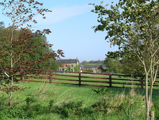 Mayfield Househouse · 1267 yd
 Meldrum Castle (ruins)Castle · 1271 yd
 CastleCastle, ringwork and bailey · 1503 yd
 Ballyknock HillMountain / peak · 2.5 mi
 Cashel Folk MusuemMuseum · 3.0 mi
 Black mulberryBlack mulberry · 3.0 mi
 The Rock Of CashelVisitor information · 3.1 mi
 Cormac's ChapelHeritage attraction · 3.1 mi
 CrossCross, Wayside cross (present location) · 1343 yd