What is recorded here
In level pasture. Oval area (dims 64m N-S; 60m E-W) defined by scarp (Wth 3.1m; min. H 0.4m; max. H 0.55m) NE-S; bank (overall Wth 5.8m; Wth at top 1.65m; int. H 0.25m; ext. H 1.5m) S-SSW; scarp (Wth 2.5m; H 1.4m) SSW-NW and bank (exterior Wth only 1.6m; int. H 0.45m; ext. H not possible to measure due to dense overgrowth) NW-NE. Fosse (overall Wth 5.55-6.75m; basal Wth 1.7-3.45m; min. D 0.4m; max. D 0.55m) is obscured by vegetation W-E. Field boundary encloses monument W-E. Remnants of field boundary (overall Wth 2.65m; int. H 0.9m; ext. H 0.5m) intermittent S-SSW. Interior is slightly undulating within and a large yet shallow pond occupies E-half. Slight rise to W of pond. Forestry encloses monument SW-W, c. 12m from fosse.
Compiled by: Jean Farrelly
Date of upload: 26 August 2011
The monument record does not grant public access. Check the route and ask the landowner before entering private land.
- What survives
- Recorded monument
Places near here
 Brickendown Church (in ruins)Church · 256 yd
 Brickendown WellHoly well · 269 yd
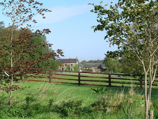 Mayfield Househouse · 585 yd
 Enclosure in MeldrumEnclosure · 827 yd
 Meldrum Castle (ruins)Castle · 1135 yd
 CastleCastle, ringwork and bailey · 1179 yd
 Ballyknock HillMountain / peak · 1.7 mi
 Cashel Folk MusuemMuseum · 2.2 mi
 Black mulberryBlack mulberry · 2.3 mi
 The Rock Of CashelVisitor information · 2.3 mi
 Cormac's ChapelHeritage attraction · 2.3 mi
 Dundrum Woods (Marl Bog)Forest · 9.8 mi