What is recorded here
Situated E of St Brendan's Well (912), this circular enclosure is marked on the 1842 and 1897 OS maps. It consists of a large circular area enclosed by a low, wide earthen bank. The width of the bank at the base is c 6m, and it rises to 1.2m above the surrounding land and 1m above the interior. The interior is at much the same level as the surrounding land, except to the N to E where it is higher. In the W sector of the interior is a mound, 10m x 12m and 1.4m high. The internal diameter is 51 m N-S and 54m E-W.
The above description is derived from C. Toal, ‘North Kerry Archaeological Survey’. Dingle. Brandon in association with FAS Training and Employment Authority (1995), no. 1078. In certain instances the entries have been revised and updated in the light of recent research.
Date of upload: 3 August 2013
The monument record does not grant public access. Check the route and ask the landowner before entering private land.
- What survives
- Recorded monument
Places near here
 St. Brendans WellHoly well · 248 yd
 Saint Brendan's Catholic Churchchurch/chapel · 545 yd
 TemplenagriffinChurch · 660 yd
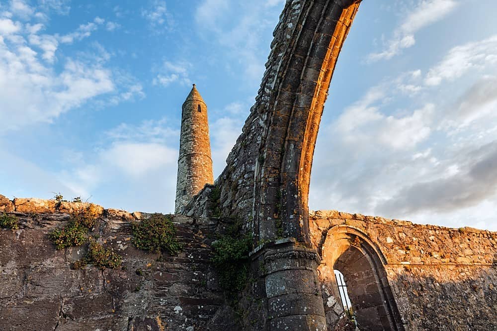 Site of Round TowerRound tower · 688 yd
 Ardfert CathedralHeritage attraction · 723 yd
 15th Centenary of the birth of St-BredanMemorial · 752 yd
 CastleCastle, unclassified · 769 yd
 Statue of Roger CasementMemorial · 786 yd
 Ardfert FriaryVisitor information · 1308 yd
 Ardfert Franciscan FriaryVisitor information · 1336 yd
 Rathoneen Castle (remains of)Castle · 1.3 mi
 Banna StrandBeach / strand · 2.2 mi