What is recorded here
A large circular enclosure (diam. c. 65m) visible as a cropmark on aerial photographs (ASIAP (16) 6-9, August 1996). A denuded field boundary, pre-dating the 1st (1840) ed. 6-inch OS map, runs roughly N-S through the western sector of the monument. A later field boundary, also running roughly N-S, truncates the eastern edge of the enclosure.
See attached:
KK024-137----_01 aerial photograph (ASIAP (16) 9, August 1996)
Compiled by: Jean Farrelly
Date of upload: 25 August 2015
The monument record does not grant public access. Check the route and ask the landowner before entering private land.
- What survives
- Recorded monument
Places near here
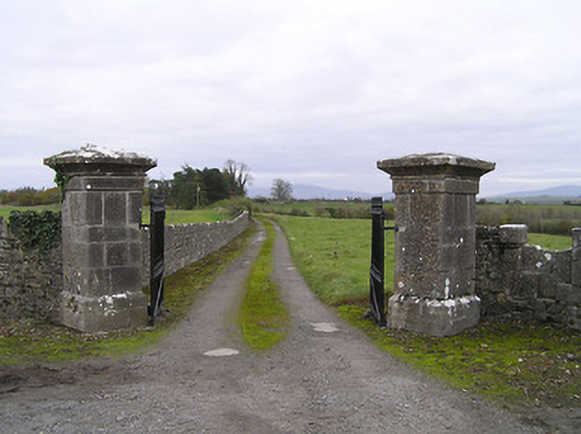 gates/railings/wallsgates/railings/walls · 317 yd
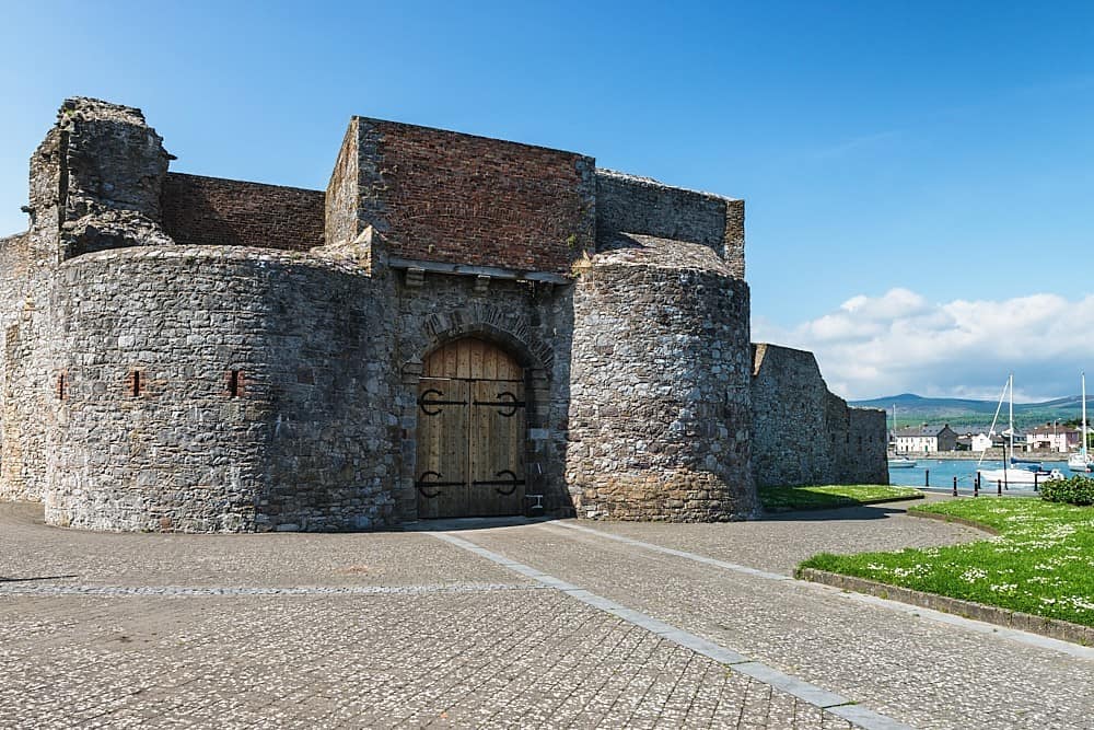 Enclosure in Dungarvan (gowran By., Bennettsbridge Ed)Enclosure · 534 yd
 Concentric enclosure in Scart (gowran By., Bramblestown Ed)Concentric enclosure · 876 yd
 Red BogForest · 1066 yd
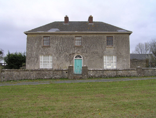 rectory/glebe/vicarage/curate's houserectory/glebe/vicarage/curate's house · 1078 yd
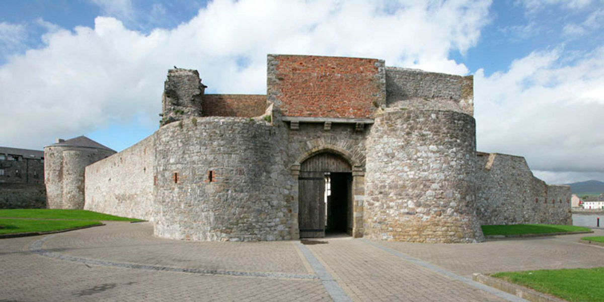 Site of Dungarvan CastleCastle, tower house · 1555 yd
 CastleCastle, motte · 1741 yd
 BogForest · 1.7 mi
 Tullaherin Church and Round TowerVisitor information · 2.5 mi
 Kilbline GraveyardArchaeological place · 3.5 mi
 Time CapsuleMemorial · 4.4 mi
 St. Mogarra’s WellSpring · 6.2 mi