What is recorded here
In pasture 50m E of a railway bridge over a public road. Not depicted on the OS maps. Identified by Bruff aerial photographic survey in 1986 (Bruff 101; AP 4/3677) as a circular shaped cropmark. OSi orthoimage taken 2005-12 shows a circular shaped area (diam. 30m) defined by a scarp. Not visible on Google Earth orthoimage dated 18/11/2018. Unclear from Bruff aerial survey what type of feature was identified. Area of rock outcrop in this area may have been the feature which was identified on the Bruff aerial image.
See attached Google Earth orthophoto and Bruff aerial survey image labelled Bruff 101.
Compiled by: Martin Fitzpatrick
Date of upload: 24 July 2020
The monument record does not grant public access. Check the route and ask the landowner before entering private land.
- What survives
- Recorded monument
Places near here
 BarrowBarrow, ring-barrow · 262 yd
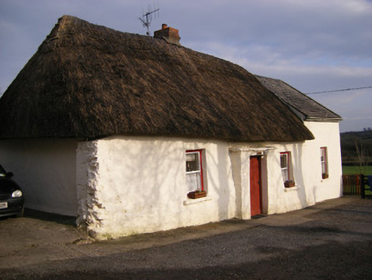 Highstreethouse · 373 yd
 Cross Tuck MillsWater mill, unclassified · 511 yd
 Enclosure in Cross (coonagh By.)Enclosure · 551 yd
 ToberagaddySpring · 1214 yd
 Kilduff CastleCastle · 1428 yd
 Kilduff Castle (in ruins)Castle, tower house · 1431 yd
 KnockseefinMountain / peak · 2.1 mi
 Oola HillMountain / peak · 3.4 mi
 St. Patrick's WellSpring · 4.4 mi
 Graveyard in AbingtonGraveyard · 6.7 mi
 Flat cemetery in Knockainy WestFlat cemetery · 8.6 mi