What is recorded here
Enclosure in Boytonrath is an enclosure in Boytonrath, County Tipperary, Ireland. It is a possible medieval site because a castle stands within its southwest sector. The visible boundary is a waterlogged fosse, about 4.2 metres wide and 0.6 to 0.8 metres deep, traced along the northwest, north, northeast, southeast, south and southwest arcs. Its interior is now a working farmyard, while a ringfort lies about 300 metres to the southwest.
In the farmyard of a working farm. A ringfort (TS068-060----) lies c. 300m to SW. All that survives visible above ground are traces of a possible fosse NW-N-NE and SE-S-SW. The fosse (Wth c. 4.2m; D c. 0.6-0.8m) is more apparent on the southern arc and is waterlogged. The OS Letters c. 1840 (O'Flanagan 1930, vol.1, 82) describe the 'fort' as being 'fifty four paces in diameter but its ramparts will soon be carried away to manure the surrounding fields'. White (1892, 30) mentions that the enclosure consisted of 'two dykes containing water as a means of defence; and that in one of these an old boat was found; and that when these works were taken away, a large quantity of excellent manure was procured'. A trackway respects the interior of the fosse along the N-arc and a trackway flanks the exterior of the fosse along the S-arc. A trackway runs along the E arc of the enclosing elements and a field boundary defines the W sector. The interior of the is occupied by a modern farmyard of concrete block buildings and walls. There is an earlier farmyard to the E. There are the possible ivy-covered remains of a castle (TS068-061002-) within the SW sector of the enclosure, just outside the modern farmyard. Excavations N of Boytonrath castle (TS068-061002-) and enclosure produced no definite evidence of medieval settlement, though it may have been removed by ploughing (Moran 1995, 80).
Compiled by: Jean Farrelly
Date of upload: 26 August 2011
The monument record does not grant public access. Check the route and ask the landowner before entering private land.
- What survives
- Recorded monument
Places near here
 Boytonrath Castle (in ruins)Castle, unclassified · 34 yd
 Boytonrath Church (in ruins)Church · 155 yd
 Field system in BallyslatteenField system · 1663 yd
 Enclosure in Lagganstown LowerEnclosure · 1673 yd
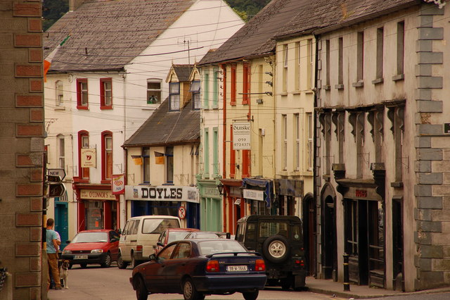 Bawn in Lagganstown UpperBawn · 1754 yd
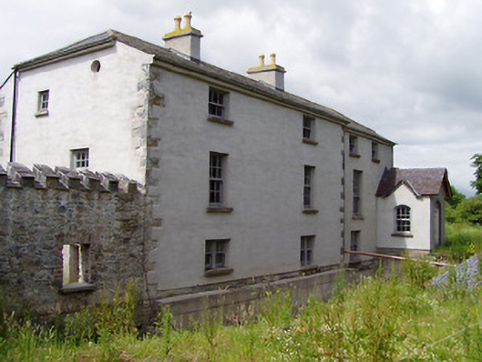 Mill Housemill (water) · 1.0 mi
 Athassel PrioryHeritage attraction · 2.1 mi
 Caucasian zelkovaCaucasian zelkova · 4.2 mi
 Cappa WoodWood · 4.9 mi
 SturrakeenMountain / peak · 6.9 mi
 Laghtshanaquilla North-East TopMountain / peak · 7.5 mi
 I.R.A. 3rd. Tipperary Brigade MemorialMemorial · 8.6 mi