What is recorded here
Situated on a gentle NE-facing slope. Trivallate enclosure visible as a cropmark on aerial photograph (CUCAP, BGP 88). An inner fosse (diam. c. 25m) is visible with two concentric closely spaced fosses at a distance of c. 15m (max. ext. diam. c. 70m). An annexe is attached at the NW. Not visible at ground level.
From the National Monuments Service (Archaeological Survey of Ireland) record WI031-019
The monument record does not grant public access. Check the route and ask the landowner before entering private land.
- What survives
- Recorded monument
Places near here
Photo credits
- Hans Hillewaert, Wikimedia Commons · CC BY-SA 3.0
- National Inventory of Architectural Heritage
- Rosser1954 Roger Griffith, Wikimedia Commons · Public domain
- Andreas F. Borchert, Wikimedia Commons · CC BY-SA 4.0
- David Sands, Geograph · CC BY-SA 2.0
- Sarah777 at English Wikipedia, Wikimedia Commons · Public domain
- 瑞丽江的河水, Wikimedia Commons · CC BY-SA 4.0
- JP, Wikimedia Commons · CC BY-SA 2.0
Enclosure in BonabrockaEnclosure · 425 ydHoly well in Newtown (arklow By.)Holy well · 545 yd Olive tree1.1 miBallymoney HouseCountry house · 1.3 miSpringfield HouseHouse · 1.8 miHighclere holly1.8 miBallymurrin HouseHouse · 2.0 miBlack Castle (in ruin)Castle, Anglo-Norman masonry castle · 3.3 miBrittas BayBeach / strand · 3.7 miCarrick MountainMountain / peak · 5.5 miViewing TowerHeritage attraction · 7.1 miDevil's Glen WaterfallWaterfall · 7.8 mi
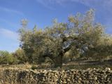 Olive tree1.1 mi
 Ballymoney HouseCountry house · 1.3 mi
 Springfield HouseHouse · 1.8 mi
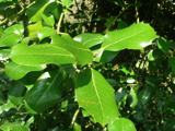 Highclere holly1.8 mi
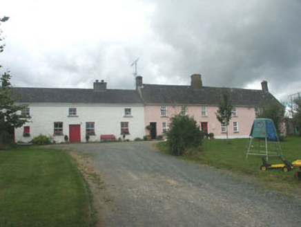 Ballymurrin HouseHouse · 2.0 mi
 Black Castle (in ruin)Castle, Anglo-Norman masonry castle · 3.3 mi
 Brittas BayBeach / strand · 3.7 mi
 Carrick MountainMountain / peak · 5.5 mi
 Viewing TowerHeritage attraction · 7.1 mi
 Devil's Glen WaterfallWaterfall · 7.8 mi
More archaeology and monuments in County Wicklow · All of County Wicklow
What do you know about this place?