What is recorded here
In improved pasture, on a steep S-facing slope with the River Ara c. 25m to S. Identified on aerial photograph (GSI R. 517/16, 16-04-1974). No visible surface trace of monument.
Compiled by: Jean Farrelly
Date of revised upload: 3 September 2014
The monument record does not grant public access. Check the route and ask the landowner before entering private land.
- What survives
- Recorded monument
Places near here
 Enclosure in BallynilardEnclosure · 326 yd
 Site of CastleCastle, unclassified · 729 yd
 CrossCross, High cross · 939 yd
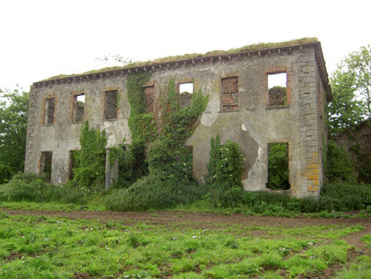 Roesborough Housecountry house · 1325 yd
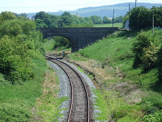 bridgebridge · 1365 yd
 Mutton Pie HillCastle, motte · 1619 yd
 The Maid of ErinMemorial · 1.0 mi
 It's a long way to TippereryHeritage attraction · 1.2 mi
 I.R.A. 3rd. Tipperary Brigade MemorialMemorial · 1.9 mi
 The RockViewpoint · 2.7 mi
 Glen of AherlowViewpoint · 3.0 mi
 Christ the KingViewpoint · 3.0 mi