
What is recorded here
Identified during aerial photographic survey by Dr. Gillian Barrett on 26 July 1990 and 15 July 1991. Aerial photographs (GB90.CL.36 and GB91.DW.29) shows cropmark of an incomplete curvilinear enclosure defined by a fosse with a rectangular enclosure attached to the north, and a rectilinear enclosure attached to the south. A cartographic representation of this monument in its landscape context is included in the following:
Barrett, G.F. (2006) 'Discovering Kildare's 'hidden' landscapes: archaeological air survey, 1989-2000'. In Nolan, W. and McGrath, T. (eds.), County Kildare: History and Society, Geography Publications, Dublin, pp. 69-95. ISBN 978-0-906602-57-7.
Barrett , G.F. '(2002) Flights of discovery: archaeological air survey in Ireland, 1989-2000' in The Journal of Irish Archaeology, XI, 2002. 1-30
Barrett, G.F. (2000) 'Lufterkundung und-bilder als Forshungsmethode bei Untersuchungen und Management von Kultulandschaften: ein irisches Beispel' in H. Behm (ed.) Kulturelles Erbe - Landschaften im Spannungsfeld zwischen Zerstörung und Bewahrung, Wittenburg, Germany: Pro Art Verlag, pp. 87-106, ISBN 3-00-006359.
Compiled by: Dr. Gillian Barrett
Date of upload: 13 December 2011
A local fairy fort (ringfort/rath); wider significance not recorded.
The monument record does not grant public access. Check the route and ask the landowner before entering private land.
- What survives
- Recorded monument
Places near here
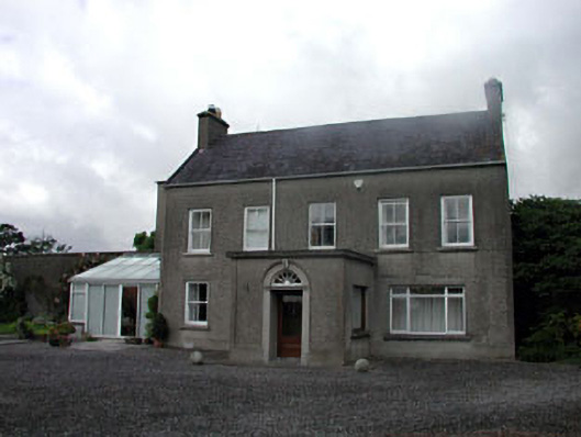 farm housefarm house · 255 yd
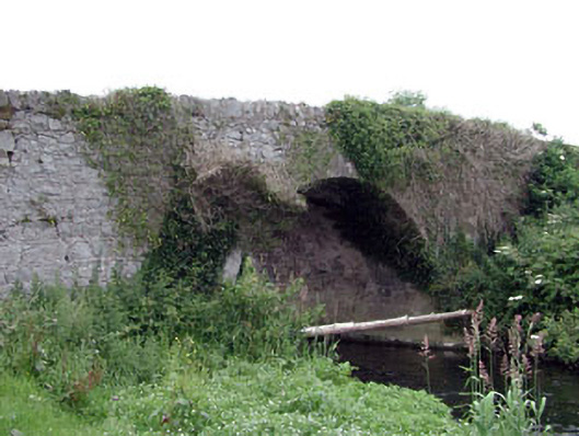 Newtown Bridgebridge · 300 yd
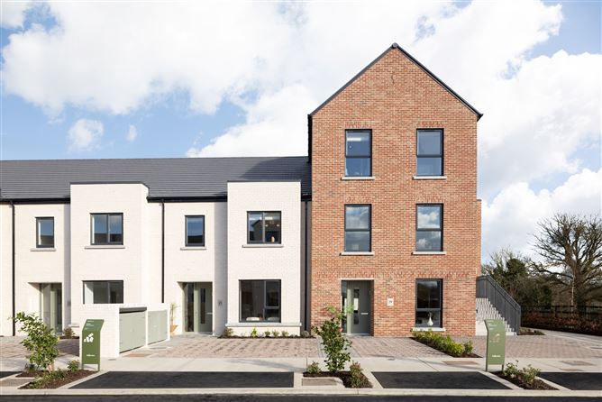 Enclosure in NewtownpilsworthEnclosure · 832 yd
 Enclosure in Maganey LowerEnclosure · 1114 yd
 Castle in ruinsCastle, unclassified · 1.0 mi
 CastleCastle, tower house · 1.4 mi
 Oak Park Forest ParkWood · 2.4 mi
 Pedunculate OakPedunculate Oak · 2.4 mi
 Lorcán Ó TuathailMemorial · 3.0 mi
 ProclamationMemorial · 3.2 mi
 Franciscan FriaryHeritage attraction · 3.5 mi
 Castledermot Round TowerHeritage attraction · 3.6 mi
Other information
Photo: Credit not shown in the picture search · Rights wording not checked; contact us if this picture should be removed