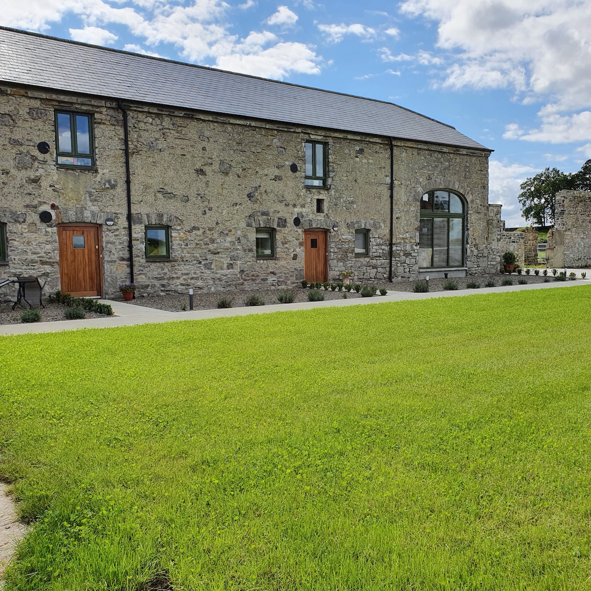
What is recorded here
The outline of a sub-circular enclosure feature (estimated diam. c. 25m) is visible on an OSI aerial photograph (1995) as a soil mark (SMR file).
Compiled by: Paul Walsh
Date of upload: 27 July 2012
The monument record does not grant public access. Check the route and ask the landowner before entering private land.
- What survives
- Recorded monument
Places near here
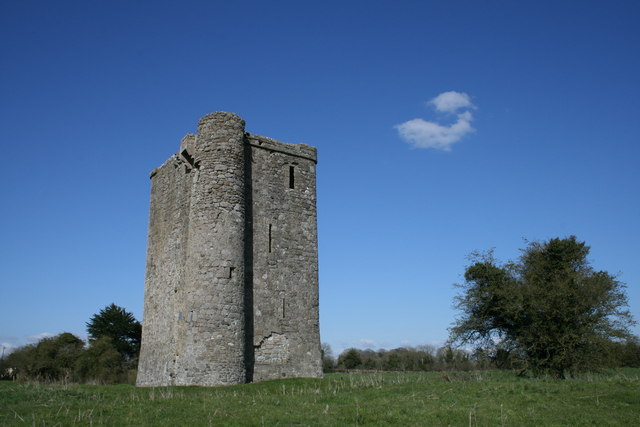 Enclosure in Bey MoreEnclosure · 210 yd
 Promontory fortPromontory fort, inland · 588 yd
 Newgrange Business ParkMemorial · 1.0 mi
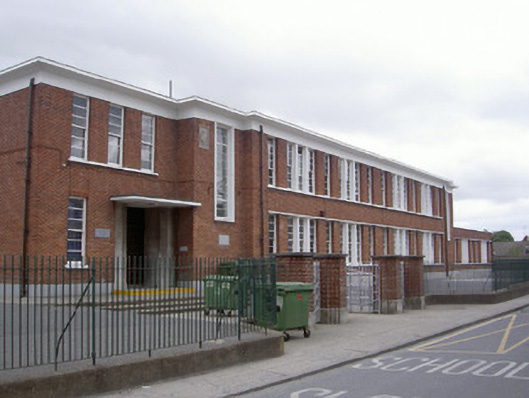 Saint Mary's National Schoolschool · 1.2 mi
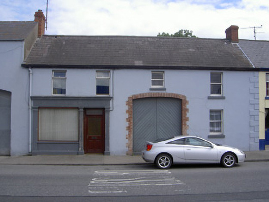 M. Kellyhouse · 1.3 mi
 Platin HouseCastle, unclassified · 1.3 mi
 Millmount MuseumMuseum · 1.4 mi
 Siege of Droghedasiege · 1.5 mi
 St. Peter's ChurchMemorial · 1.6 mi
 Yellow IslandIslet · 2.5 mi
 Glenmore ForestWood · 2.7 mi
 Grove IslandIslet · 2.8 mi
Other information
Photo: Credit not shown in the picture search · Rights wording not checked; contact us if this picture should be removed