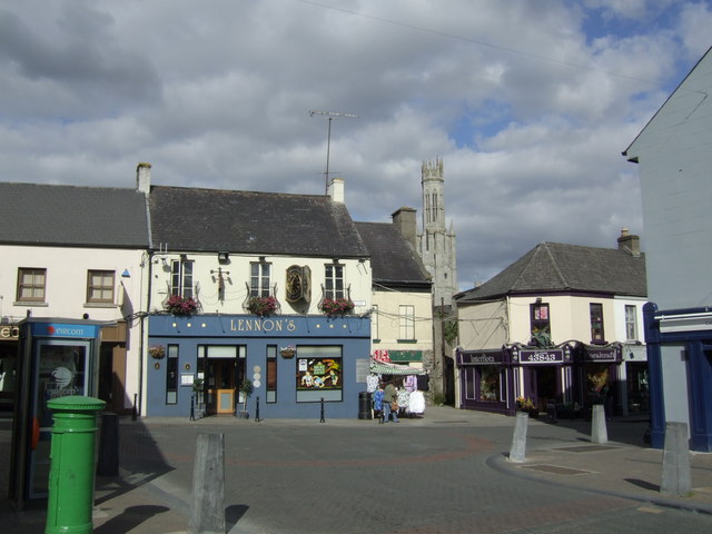
What is recorded here
Bendinstown enclosure is a broken circular earthwork about forty metres across, marked on the 1839 survey and described by O'Donovan as a broken rath. Its remaining bank has been absorbed into a field boundary near Ardbearn, suggesting it served people long enough to shape the land before memory faded. It may have been a ringfort, a place of residence, defense or ritual, but the earth has kept its shape while the names and events have slipped away.
The following description is derived from the published 'Archaeological Inventory of County Carlow' (Dublin: Stationery Office, 1993). In certain instances the entries have been revised and updated in the light of recent research.
Date of upload/revision: 17 July 2007
Shown as circular enclosure on 1839 'OS 6-inch' map and described by O'Donovan as a 'broken rath' (OSL 1839, 127) (est diam. c. 40m). Small portion of bank at NE incorporated in the field boundary with Ardbearn townland. Possibly a ringfort.
The monument record does not grant public access. Check the route and ask the landowner before entering private land.
- What survives
- Recorded monument
Places near here
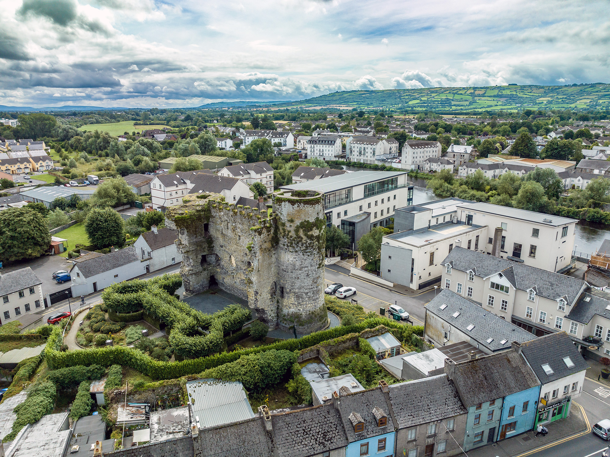 Font in GilbertstownFont · 649 yd
 Enclosure in GilbertstownEnclosure · 732 yd
 Kilmurry Church (in ruins), GraveyardChurch · 1051 yd
 Ballynunnery Castle in ruinsCastle, unclassified · 1252 yd
 Site of CastleCastle, unclassified · 1611 yd
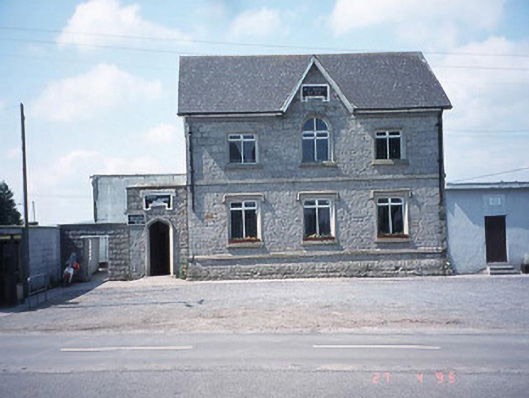 school master's houseschool master's house · 1.2 mi
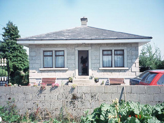 Kilknock Housegate lodge · 1.2 mi
 Church (in ruins), GraveyardChurch · 1.7 mi
 Pedunculate OakPedunculate Oak · 3.1 mi
 Scots PineScots Pine · 4.6 mi
 Altamont Gardens MapVisitor information · 4.6 mi
 Altamont House and GardensHeritage attraction · 4.7 mi
Other information
Photo: Credit not shown in the picture search · Rights wording not checked; contact us if this picture should be removed