What is recorded here
Enclosure in Bellurgan is a complex of stone boundaries on level ground near the Castletown River, marking one of the oldest shaped landscapes in County Louth. Its circular and square forms suggest people lived, worked and remembered there long before written records. The stones do not speak, but they repeat a human rhythm: return, arrange, occupy, and leave a shape behind.
The following description is derived from both the published 'Archaeological Inventory of County Louth' (Dublin: Stationery Office, 1986) and the 'Archaeological Survey of County Louth' (Dublin: Stationery Office, 1991). In certain instances the entries have been revised and updated in the light of recent research.
Date of upload/revision: 17 July 2007
Located on level ground near the estuary of the Castletown River. The site consists of a circular enclosure (diam. c. 20m) at the NW corner of a roughly square enclosure (c. 54m N-S, c. 52m E-W). There is a second roughly circular enclosure (max. dims. c. 44m N-S, c. 39m E-W) in the E section of the square enclosure. A third, ill-defined enclosure lies to the W of the others. (CUCAP, BDP 50)
The monument record does not grant public access. Check the route and ask the landowner before entering private land.
- What survives
- Recorded monument
Places near here
 Enclosure in Bellurgan (dundalk Lwr By; Castletown Par.)Enclosure · 38 yd
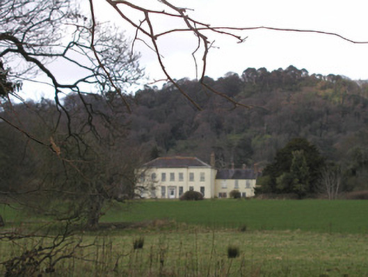 Bellurgan Parkhouse · 487 yd
 Trumpet HillMountain / peak · 911 yd
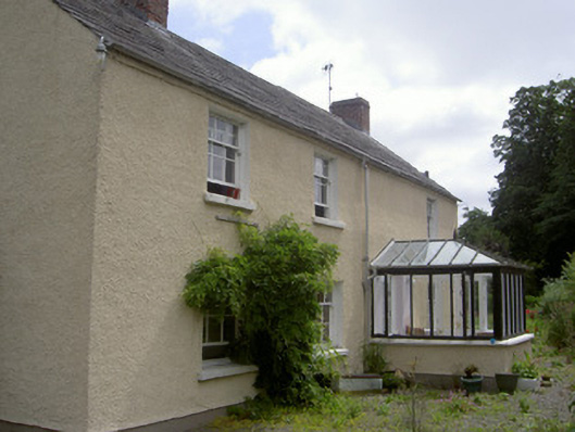 Bridge Househouse · 995 yd
 CastleCastle, tower house · 1184 yd
 Man-made underground passage in Bellurgan (dundalk Lwr By; Castletown Par.)Man-made underground passage · 1272 yd
 Drumisnagh HillMountain / peak · 1295 yd
 Proleek DolmenArchaeological place · 1669 yd
 Soldiers' PointHeadland · 1.3 mi
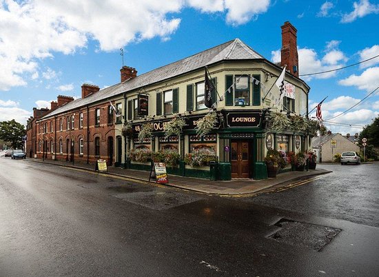 TSS DundalkMemorial · 1.7 mi
 Battle of FaughartMajor battlefield · 2.3 mi
 Louth County MuseumMuseum · 2.8 mi